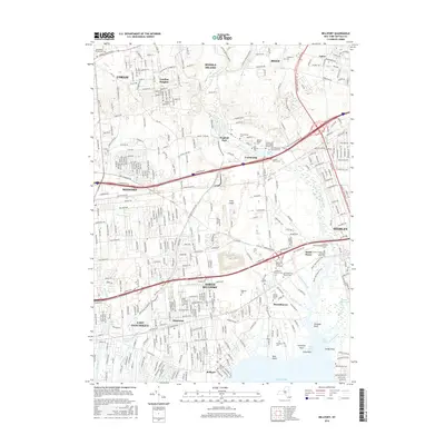
2016 Map of Bellport
USGS Topo · Published 2016About this map
Bellport and Yaphank serve as historical anchors for this southern Long Island landscape, where the Long Island railroad and major arterials like the Long Island Expressway Rd cross a terrain defined by numerous creeks and ponds. The sheet is particularly rich in genealogical data, preserving the locations of numerous small burial grounds and family plots, including the Barteau Private Graveyard and the Samuel Carman and Nathaniel Miller Cem. Natural water features such as the Carmans River and Yaphank Creek flow toward Bellport Bay, providing a clear view of the historical drainage patterns that dictated early settlement. From the established neighborhoods of East Patchogue and North Bellport to the protected corridors of the White Oak Nature Trail, the map details a transition from dense residential development to the tidal reaches of Fireplace Neck and Sandy Point.
Find a feature on this map
74 named features on this map. Tap any name to fly to it.
Don’t see what you’re looking for? This feature index may not catch every label — zoom into the map to look around manually.
Map Details
Editions of this 2016 Bellport Map
This is the sole edition of this map. No revisions or reprints were ever made.
Other maps of this area

1902 · Setauket
USGS Topo · 1:62,500

1902 · Fire Island
USGS Topo · 1:62,500

1903 · Fire Island
USGS Topo · 1:62,500

1904 · Setauket
USGS Topo · 1:62,500

1904 · Islip
USGS Topo · 1:125,000

1904 · Moriches
USGS Topo · 1:62,500

1919 · Setauket
USGS Topo · 1:62,500

1942 · Islip
USGS Topo · 1:125,000

1947 · Bellport
USGS Topo · 1:24,000

1947 · Howells Point
USGS Topo · 1:24,000