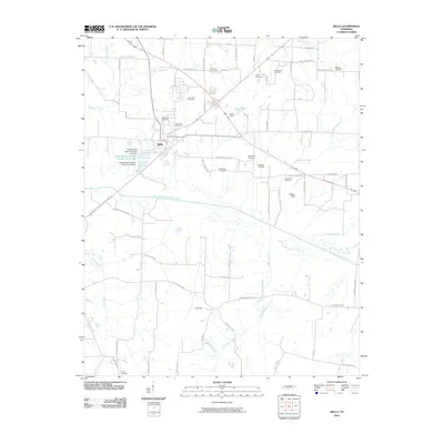
2010 Map of Bells
USGS Topo · Published 2010About this map
Bells serves as the central hub of this West Tennessee landscape, where a dense network of country roads radiates into the surrounding agricultural terrain. The map reveals a high concentration of small family and community burial grounds, such as Bellevue Cemetery, Simmons Cemetery, and Brigance Cemetery, which are scattered throughout the countryside near established homesteads and old farm routes. These sites, along with others like Macedonia Cemetery and Williams Cemetery, provide significant data points for genealogical research in Crockett County.
Find a feature on this map
64 named features on this map. Tap any name to fly to it.
Don’t see what you’re looking for? This feature index may not catch every label — zoom into the map to look around manually.
Map Details
Editions of this 2010 Bells Map
This is the sole edition of this map. No revisions or reprints were ever made.
Other maps of this area

1950 · Sunnyhill
USGS Topo · 1:24,000

1951 · Sunnyhill
USGS Topo · 1:24,000

1956 · Blytheville
USGS Topo · 1:250,000

1959 · Blytheville
USGS Topo · 1:250,000

1959 · Bells
USGS Topo · 1:24,000

1959 · Westover
USGS Topo · 1:24,000

1959 · Denmark
USGS Topo · 1:24,000

1959 · Adair
USGS Topo · 1:24,000

1959 · Humboldt
USGS Topo · 1:24,000

1961 · Jones
USGS Topo · 1:24,000