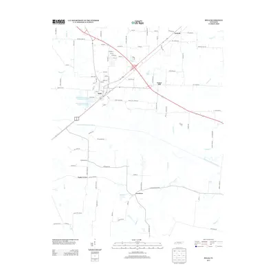
2013 Map of Bells
USGS Topo · Published 2013About this map
Bells serves as the primary hub of this West Tennessee landscape, situated north of the meandering South Fork Forked Deer River. This 2013 topographic survey captures a transition in the local infrastructure, documenting numerous family-named roads like Edward Williams Rd and Ezra Emison Rd that anchor the surrounding agricultural tracts. Smaller communities such as Fruitvale, Providence, and Poplar Corner remain distinct, reflecting the enduring rural settlement patterns of Crockett County. The hydrology of the region is defined by the heavy presence of creek systems including Cypress Cr, Panther Cr, and Pearsons Cr, which feed into the river valley. In addition to natural features like Byrd Lake, the map also details modern utilities such as the Bells Aerated Lagoon Number One Lake, providing a clear picture of the area's contemporary water management systems alongside its historical road network.
Find a feature on this map
96 named features on this map. Tap any name to fly to it.
Don’t see what you’re looking for? This feature index may not catch every label — zoom into the map to look around manually.
Map Details
Editions of this 2013 Bells Map
This is the sole edition of this map. No revisions or reprints were ever made.
Other maps of this area

1950 · Sunnyhill
USGS Topo · 1:24,000

1951 · Sunnyhill
USGS Topo · 1:24,000

1956 · Blytheville
USGS Topo · 1:250,000

1959 · Blytheville
USGS Topo · 1:250,000

1959 · Bells
USGS Topo · 1:24,000

1959 · Westover
USGS Topo · 1:24,000

1959 · Denmark
USGS Topo · 1:24,000

1959 · Adair
USGS Topo · 1:24,000

1959 · Humboldt
USGS Topo · 1:24,000

1961 · Jones
USGS Topo · 1:24,000