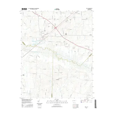
2016 Map of Bells
USGS Topo · Published 2016About this map
Bells serves as the primary hub in this West Tennessee landscape, where the convergence of major highways and local thoroughfares like Cherryville Rd and Old Bells Rd shapes the community's layout. The surrounding terrain is defined by the meandering path of the South Fork Forked Deer River, which creates a wide, intricate wetland system across the central portion of the map. This river corridor separates the more densely settled northern areas from the southern reaches near Providence and Holly Grove.
Find a feature on this map
96 named features on this map. Tap any name to fly to it.
Don’t see what you’re looking for? This feature index may not catch every label — zoom into the map to look around manually.
Map Details
Editions of this 2016 Bells Map
This is the sole edition of this map. No revisions or reprints were ever made.
Other maps of this area

1950 · Sunnyhill
USGS Topo · 1:24,000

1951 · Sunnyhill
USGS Topo · 1:24,000

1956 · Blytheville
USGS Topo · 1:250,000

1959 · Blytheville
USGS Topo · 1:250,000

1959 · Bells
USGS Topo · 1:24,000

1959 · Westover
USGS Topo · 1:24,000

1959 · Denmark
USGS Topo · 1:24,000

1959 · Adair
USGS Topo · 1:24,000

1959 · Humboldt
USGS Topo · 1:24,000

1961 · Jones
USGS Topo · 1:24,000