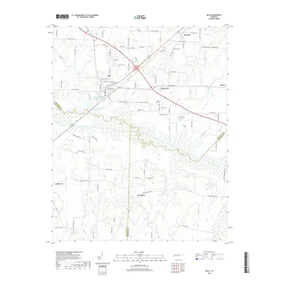
2019 Map of Bells
USGS Topo · Published 2019About this map
The South Fork Forked Deer River meanders through this West Tennessee landscape, marking the intersection of Crockett, Haywood, and Madison counties. The town of Bells serves as a central hub, where residential streets like Bell Meade St and College St meet the industrial corridors near Bells Aerobic Lagoon Number One Lake. The area's long-established community roots are evident in the high density of rural burial grounds, including Belleview Cem, Good Hope Cem, and Simmons Cem near the town center.
Find a feature on this map
90 named features on this map. Tap any name to fly to it.
Don’t see what you’re looking for? This feature index may not catch every label — zoom into the map to look around manually.
Map Details
Editions of this 2019 Bells Map
This is the sole edition of this map. No revisions or reprints were ever made.
Other maps of this area

1950 · Sunnyhill
USGS Topo · 1:24,000

1951 · Sunnyhill
USGS Topo · 1:24,000

1956 · Blytheville
USGS Topo · 1:250,000

1959 · Blytheville
USGS Topo · 1:250,000

1959 · Bells
USGS Topo · 1:24,000

1959 · Westover
USGS Topo · 1:24,000

1959 · Denmark
USGS Topo · 1:24,000

1959 · Adair
USGS Topo · 1:24,000

1959 · Humboldt
USGS Topo · 1:24,000

1961 · Jones
USGS Topo · 1:24,000