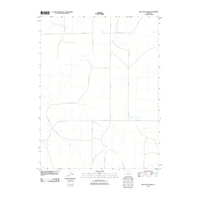
2010 Map of Bellyache Creek
USGS Topo · Published 2010About this map
Bellyache Creek and its seasonal drainage network define this high plains landscape in eastern Colorado at the start of the 21st century. The terrain is characterized by a precise grid of rural transit, where County Road F and County Road A segment the open range. These arterial routes connect with smaller local connectors like County Rd-EE and County Rd-2.10, illustrating the organized land division typical of the region's agricultural and ranching history. Water remains the primary geographical marker in this sparse environment, with the East Branch Spring Creek, Pass Creek, and Sand Creek cutting shallow paths across the prairie. The map provides a clear look at the intersection of modern infrastructure and natural drainage basins before further development or shifts in land use.
Find a feature on this map
15 named features on this map. Tap any name to fly to it.
Don’t see what you’re looking for? This feature index may not catch every label — zoom into the map to look around manually.
Map Details
Editions of this 2010 Bellyache Creek Map
This is the sole edition of this map. No revisions or reprints were ever made.
Other maps of this area

1891 · Arroyo
USGS Topo · 1:125,000

1891 · Kit Carson
USGS Topo · 1:125,000

1893 · Arroyo
USGS Topo · 1:125,000

1893 · Kit Carson
USGS Topo · 1:125,000

1954 · Limon
USGS Topo · 1:250,000

1954 · Lamar
USGS Topo · 1:250,000

1957 · Limon
USGS Topo · 1:250,000

1958 · Limon
USGS Topo · 1:250,000

1958 · Lamar
USGS Topo · 1:250,000

1978 · Sanders Ranch
USGS Topo · 1:24,000