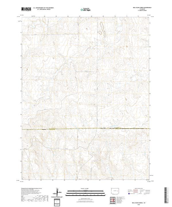
2022 Map of Bellyache Creek
USGS Topo · Published 2022About this map
Kit Carson Co Cheyenne Co marks the primary horizontal divide across this high plains landscape, where the drainage systems of Bellyache Creek and E Br Spring Creek carve gentle depressions into the terrain. This rural expanse is defined by the rigid geometry of the Public Land Survey System, with township and range lines such as t11s r51w and t12s r50w providing the underlying structure for land ownership and agricultural development. The movement of water through seasonal channels like Sand Creek and Pass Creek dictates the local topography, while a network of section-line roads, including Co Rd F and Co Rd A, facilitates travel across the prairie. The map captures a contemporary look at the intersection of these two eastern Colorado counties, illustrating a region still deeply tied to its original survey boundaries and natural drainage patterns.
Find a feature on this map
18 named features on this map. Tap any name to fly to it.
Don’t see what you’re looking for? This feature index may not catch every label — zoom into the map to look around manually.
Map Details
Editions of this 2022 Bellyache Creek Map
This is the sole edition of this map. No revisions or reprints were ever made.
Other maps of this area

1891 · Arroyo
USGS Topo · 1:125,000

1891 · Kit Carson
USGS Topo · 1:125,000

1893 · Arroyo
USGS Topo · 1:125,000

1893 · Kit Carson
USGS Topo · 1:125,000

1954 · Limon
USGS Topo · 1:250,000

1954 · Lamar
USGS Topo · 1:250,000

1957 · Limon
USGS Topo · 1:250,000

1958 · Limon
USGS Topo · 1:250,000

1958 · Lamar
USGS Topo · 1:250,000

1978 · Sanders Ranch
USGS Topo · 1:24,000