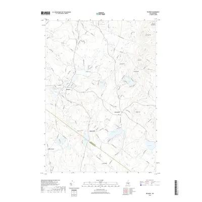
2018 Map of Belmont
USGS Topo · Published 2018About this map
The Belmont village center anchors this landscape where the Tioga River and its various tributaries have shaped local industry and settlement for generations. The map reveals a transition from the structured street grid of the village, featuring Church St and Dearborn St, to the more dispersed rural hamlets of Allens Mills and Hills Corner. To the northeast, the terrain rises sharply into the Belknap Mountains, reaching a peak at Whiteface Mtn. This intersection of upland ridges and lowland water bodies, such as Sargent Lake and Shellcamp Pond, illustrates the classic New England pattern of small-scale agriculture and concentrated river-valley development. Along the southern edge, the Belknap Co and Merrimack Co border cuts through Loudon Ridge, while genealogists will find the Ham Cem located near the southwestern corner, a quiet marker of the area's early family homesteads.
Find a feature on this map
110 named features on this map. Tap any name to fly to it.
Don’t see what you’re looking for? This feature index may not catch every label — zoom into the map to look around manually.
Map Details
Editions of this 2018 Belmont Map
This is the sole edition of this map. No revisions or reprints were ever made.
Other maps of this area

1909 · Winnepesaukee
USGS Topo · 1:62,500

1919 · Gilmanton
USGS Topo · 1:62,500

1925 · Holderness
USGS Topo · 1:62,500

1927 · Penacook
USGS Topo · 1:62,500

1927 · Gilmanton
USGS Topo · 1:62,500

1927 · Holderness
USGS Topo · 1:62,500

1949 · Portland
USGS Topo · 1:250,000

1956 · Winnipesaukee
USGS Topo · 1:62,500

1956 · Penacook
USGS Topo · 1:62,500

1956 · Holderness
USGS Topo · 1:62,500