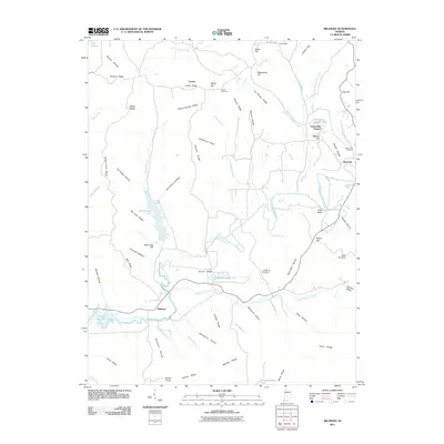
2011 Map of Belmont
USGS Topo · Published 2011About this map
North Fork Salt Creek carves a deep valley through this corner of Brown County, where the village of Belmont sits at a critical junction of local topography. By the early 21st century, the landscape reflects a mix of traditional settlement patterns and modern water management, anchored by large reservoirs like Yellowwood Lake and a portion of Monroe Lake in the southwest. The terrain is defined by a dense network of family-named ridges and hollows, such as Pattys Garden Ridge and Sol Pogue Hollow, which have shaped the movement of residents for generations. Small settlements like Lanam and Pine Bluff are scattered among these heights, while the county seat of Nashville begins to appear on the eastern edge. For genealogists, the map preserves the locations of several burial grounds, including Lanam Cemetery and Hickory Hill Cemetery, providing essential spatial context for the area's rural history.
Find a feature on this map
78 named features on this map. Tap any name to fly to it.
Don’t see what you’re looking for? This feature index may not catch every label — zoom into the map to look around manually.
Map Details
Editions of this 2011 Belmont Map
This is the sole edition of this map. No revisions or reprints were ever made.
Other maps of this area

1942 · Franklin
USGS Topo · 1:125,000

1946 · Belmont
USGS Topo · 1:24,000

1947 · Allens Creek
USGS Topo · 1:24,000

1947 · Unionville
USGS Topo · 1:24,000

1947 · Nashville
USGS Topo · 1:24,000

1947 · Elkinsville
USGS Topo · 1:24,000

1947 · Franklin
USGS Topo · 1:62,500

1948 · Hindustan
USGS Topo · 1:24,000

1948 · Fruitdale
USGS Topo · 1:24,000

1948 · Morgantown
USGS Topo · 1:24,000