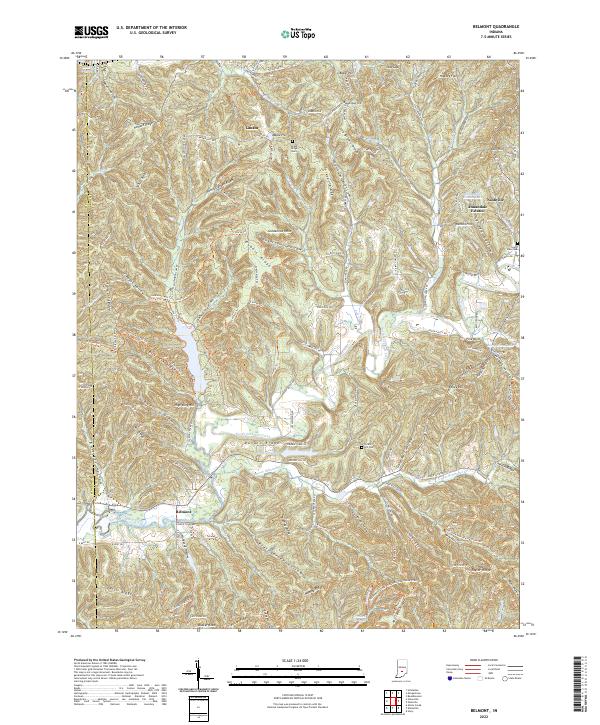
2022 Map of Belmont
USGS Topo · Published 2022About this map
Nashville and the adjacent Annandale Estates sit at the eastern edge of this modern Brown County landscape, where the town grid meets the heavily dissected terrain of the Indiana uplands. The drainage system of the North Fork Salt Creek dictates the local geography, with numerous named ridges such as Howard Ridge and Scarce of Fat Ridge separating deep hollows like Sol Pogue Hollow and Graveyard Hollow. Small rural settlements like Lanam and Belmont are connected by a network of ridge-top and valley-bottom roads, including Lanam Ridge Rd and Yellowwood Lake Rd. The map documents several local burial grounds, including Lanam Ridge Cem, South View Cem, and Hickory Hill Cem, which serve as vital markers for genealogical research in this wooded region. Recreational and agricultural features appear throughout, from the Somerset Lake area to the extensive Brown County State Park Hiking Trails Trl and the Tecumseh Trl, reflecting the area's modern character as a center for conservation and outdoor activity.
Find a feature on this map
135 named features on this map. Tap any name to fly to it.
Don’t see what you’re looking for? This feature index may not catch every label — zoom into the map to look around manually.
Map Details
Editions of this 2022 Belmont Map
This is the sole edition of this map. No revisions or reprints were ever made.
Other maps of this area

1942 · Franklin
USGS Topo · 1:125,000

1946 · Belmont
USGS Topo · 1:24,000

1947 · Allens Creek
USGS Topo · 1:24,000

1947 · Unionville
USGS Topo · 1:24,000

1947 · Nashville
USGS Topo · 1:24,000

1947 · Elkinsville
USGS Topo · 1:24,000

1947 · Franklin
USGS Topo · 1:62,500

1948 · Hindustan
USGS Topo · 1:24,000

1948 · Fruitdale
USGS Topo · 1:24,000

1948 · Morgantown
USGS Topo · 1:24,000