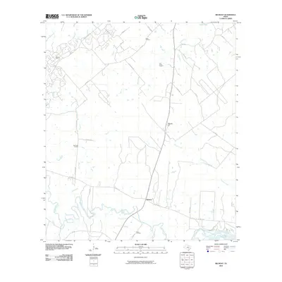
2010 Map of Belmont
USGS Topo · Published 2010About this map
Belmont serves as the central hub of this Gonzales County landscape, situated near a sharp bend in the Guadalupe River. The map reveals a rural community deeply rooted in its local geography, with a network of country roads like FM 1150 and US Hwy 90 Alt connecting scattered family cemeteries and industrial sites. The northwestern corner is defined by the Darst Oil Field, indicating the importance of petroleum extraction to the local economy alongside traditional ranching and farming.
Find a feature on this map
34 named features on this map. Tap any name to fly to it.
Don’t see what you’re looking for? This feature index may not catch every label — zoom into the map to look around manually.
Map Details
Editions of this 2010 Belmont Map
This is the sole edition of this map. No revisions or reprints were ever made.
Other maps of this area

1911 · San Marcos
USGS Topo · 1:125,000

1919 · San Marcos
USGS Topo · 1:125,000

1920 · Smiley
USGS Topo · 1:125,000

1924 · San Marcos 3-d
USGS Topo · 1:48,000

1925 · San Marcos 4-c
USGS Topo · 1:48,000

1925 · San Marcos 4-a
USGS Topo · 1:48,000

1929 · Luling
USGS Topo · 1:62,500

1930 · Seguin
USGS Topo · 1:62,500

1942 · Dewville
USGS Topo · 1:62,500

1953 · Seguin
USGS Topo · 1:250,000