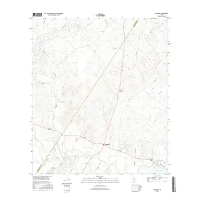
2016 Map of Belmont
USGS Topo · Published 2016About this map
Belmont serves as the central junction for this stretch of the Guadalupe River valley, where state highways and local roads converge near the river's winding path. The landscape is defined by its drainages, including Nash Creek and Clemens Cr, which feed toward the river and Lake Gonzales in the southeast. This 2016 survey documents a rural environment deeply connected to its past, evidenced by numerous family and community burial grounds scattered across the county line between Guadalupe and Gonzales counties.
Find a feature on this map
42 named features on this map. Tap any name to fly to it.
Don’t see what you’re looking for? This feature index may not catch every label — zoom into the map to look around manually.
Map Details
Editions of this 2016 Belmont Map
This is the sole edition of this map. No revisions or reprints were ever made.
Other maps of this area

1911 · San Marcos
USGS Topo · 1:125,000

1919 · San Marcos
USGS Topo · 1:125,000

1920 · Smiley
USGS Topo · 1:125,000

1924 · San Marcos 3-d
USGS Topo · 1:48,000

1925 · San Marcos 4-c
USGS Topo · 1:48,000

1925 · San Marcos 4-a
USGS Topo · 1:48,000

1929 · Luling
USGS Topo · 1:62,500

1930 · Seguin
USGS Topo · 1:62,500

1942 · Dewville
USGS Topo · 1:62,500

1953 · Seguin
USGS Topo · 1:250,000