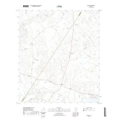
2019 Map of Belmont
USGS Topo · Published 2019About this map
The settlement of Belmont anchors this section of the Central Texas landscape where the Guadalupe River carves a winding path through the southern reach of the quadrangle. This 2019 survey documents a rural environment defined by tributary networks like Nash Cr and Clemens Cr and the topographical prominence of Powder Ridge. The distribution of family and community burial sites, including Saint James Cem, Nash Creek Cem, and Nixon Cem, reflects the long-standing genealogical roots established in this portion of the Guadalupe and Gonzales county line.
Find a feature on this map
47 named features on this map. Tap any name to fly to it.
Don’t see what you’re looking for? This feature index may not catch every label — zoom into the map to look around manually.
Map Details
Editions of this 2019 Belmont Map
This is the sole edition of this map. No revisions or reprints were ever made.
Other maps of this area

1911 · San Marcos
USGS Topo · 1:125,000

1919 · San Marcos
USGS Topo · 1:125,000

1920 · Smiley
USGS Topo · 1:125,000

1924 · San Marcos 3-d
USGS Topo · 1:48,000

1925 · San Marcos 4-c
USGS Topo · 1:48,000

1925 · San Marcos 4-a
USGS Topo · 1:48,000

1929 · Luling
USGS Topo · 1:62,500

1930 · Seguin
USGS Topo · 1:62,500

1942 · Dewville
USGS Topo · 1:62,500

1953 · Seguin
USGS Topo · 1:250,000