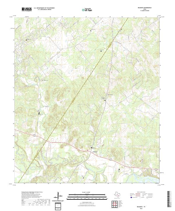
2022 Map of Belmont
USGS Topo · Published 2022About this map
The Guadalupe River carves through this landscape on the border of Guadalupe and Gonzales counties, anchoring the settlement of Belmont. This region is defined by a dense network of family and community burial grounds, reflecting generations of rural history. Notable sites include the Saint James Baptist Church Cem and Harris Chapel Cem, alongside family plots like the Pickens Family Cem and Allen Family Cem.
Find a feature on this map
59 named features on this map. Tap any name to fly to it.
Don’t see what you’re looking for? This feature index may not catch every label — zoom into the map to look around manually.
Map Details
Editions of this 2022 Belmont Map
This is the sole edition of this map. No revisions or reprints were ever made.
Other maps of this area

1911 · San Marcos
USGS Topo · 1:125,000

1919 · San Marcos
USGS Topo · 1:125,000

1920 · Smiley
USGS Topo · 1:125,000

1924 · San Marcos 3-d
USGS Topo · 1:48,000

1925 · San Marcos 4-c
USGS Topo · 1:48,000

1925 · San Marcos 4-a
USGS Topo · 1:48,000

1929 · Luling
USGS Topo · 1:62,500

1930 · Seguin
USGS Topo · 1:62,500

1942 · Dewville
USGS Topo · 1:62,500

1953 · Seguin
USGS Topo · 1:250,000