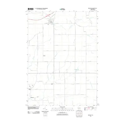
2010 Map of Belmont
USGS Topo · Published 2010About this map
The village of Belmont anchors this 2010 topographic record, situated in a landscape where agricultural grids meet the legacy of the Driftless Area's mining history. The southwestern corner of the map reveals the industrial footprints of the Leo V Mine, Liberty Mine, and New Dell Mine, clustered near the settlements of Meekers Grove and Jenkinsville. These sites, positioned along the upper reaches of the Galena River, point to the region's long-standing connection to lead and zinc extraction that once drove the local economy.
Find a feature on this map
45 named features on this map. Tap any name to fly to it.
Don’t see what you’re looking for? This feature index may not catch every label — zoom into the map to look around manually.
Map Details
Editions of this 2010 Belmont Map
This is the sole edition of this map. No revisions or reprints were ever made.
Other maps of this area

1902 · Mineral Point
USGS Topo · 1:125,000

1952 · Shullsburg
USGS Topo · 1:24,000

1952 · Platteville
USGS Topo · 1:24,000

1952 · Calamine
USGS Topo · 1:24,000

1952 · Rewey
USGS Topo · 1:24,000

1952 · Mineral Point
USGS Topo · 1:24,000

1952 · Cuba City
USGS Topo · 1:24,000

1952 · Belmont
USGS Topo · 1:24,000

1952 · New Diggings
USGS Topo · 1:24,000

1952 · Mifflin
USGS Topo · 1:24,000