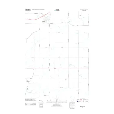
2013 Map of Belmont
USGS Topo · Published 2013About this map
Belmont anchors the northern landscape of this Lafayette County region, where the intersection of Us-151 and 1st Capitol Dr marks the area's historical and modern significance. The terrain is defined by a dense network of agricultural roads and drainage systems, with Bonner Br and Pats Cr winding through the countryside. Smaller named settlements and agricultural hubs like Meekers Grove, Jenkinsville, and Wolters Farm are linked by long rural stretches such as State Road 126 and State Road 81.
Find a feature on this map
55 named features on this map. Tap any name to fly to it.
Don’t see what you’re looking for? This feature index may not catch every label — zoom into the map to look around manually.
Map Details
Editions of this 2013 Belmont Map
This is the sole edition of this map. No revisions or reprints were ever made.
Other maps of this area

1902 · Mineral Point
USGS Topo · 1:125,000

1952 · Shullsburg
USGS Topo · 1:24,000

1952 · Platteville
USGS Topo · 1:24,000

1952 · Calamine
USGS Topo · 1:24,000

1952 · Rewey
USGS Topo · 1:24,000

1952 · Mineral Point
USGS Topo · 1:24,000

1952 · Cuba City
USGS Topo · 1:24,000

1952 · Belmont
USGS Topo · 1:24,000

1952 · New Diggings
USGS Topo · 1:24,000

1952 · Mifflin
USGS Topo · 1:24,000