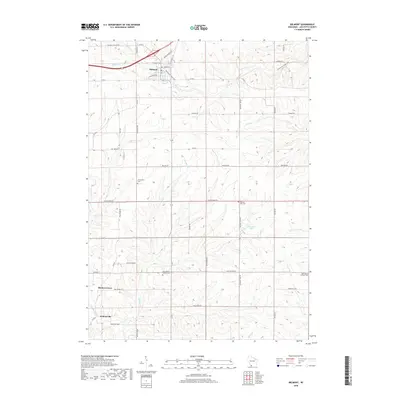
2018 Map of Belmont
USGS Topo · Published 2018About this map
Belmont serves as the primary hub in this Lafayette County landscape, where the Pecatonica State Trail traces a path through the northern section of town. The surrounding countryside is defined by a dendritic network of waterways, including Bonner Br, Pats Cr, and Madden Br, which drain toward the south and west into the Galena River. This 2018 survey reveals a rural landscape deeply connected to its local heritage, evidenced by several historic burial grounds such as Strawberry Cem and Saint Peters Catholic Cem. Small clusters of settlement at Meekers Grove and Jenkinsville anchor the southern reaches of the map, while the terrain's varied elevation is navigated by a grid of rural routes like Saint Peters Rd and Truman Rd. The presence of multiple cemeteries, including Saint Marys Catholic Cem and Pleasant View Cem, offers significant detail for researchers documenting the regional genealogy and the distribution of early parishes.
Find a feature on this map
50 named features on this map. Tap any name to fly to it.
Don’t see what you’re looking for? This feature index may not catch every label — zoom into the map to look around manually.
Map Details
Editions of this 2018 Belmont Map
This is the sole edition of this map. No revisions or reprints were ever made.
Other maps of this area

1902 · Mineral Point
USGS Topo · 1:125,000

1952 · Shullsburg
USGS Topo · 1:24,000

1952 · Platteville
USGS Topo · 1:24,000

1952 · Calamine
USGS Topo · 1:24,000

1952 · Rewey
USGS Topo · 1:24,000

1952 · Mineral Point
USGS Topo · 1:24,000

1952 · Cuba City
USGS Topo · 1:24,000

1952 · Belmont
USGS Topo · 1:24,000

1952 · New Diggings
USGS Topo · 1:24,000

1952 · Mifflin
USGS Topo · 1:24,000