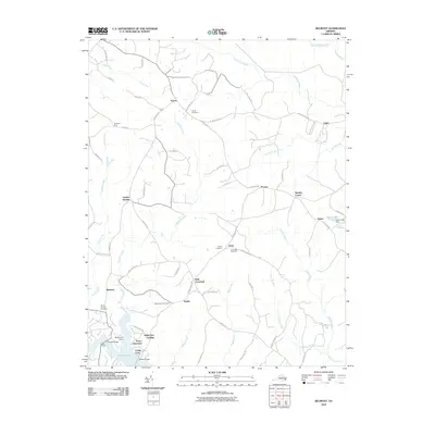
2010 Map of Belmont
USGS Topo · Published 2010About this map
Lake Anna defines the southern portion of this landscape, its fingers reaching into the surrounding Piedmont terrain where settlements like Belmont and Stubbs sit near the water's edge. The 2010 geography is marked by numerous family and community burial grounds, including Craigs Cemetery, Olivet Cemetery, and Mount Hermon Cemetery, which provide critical points of reference for local genealogy. A network of rural roads such as Lawyers Rd and Post Oak Rd connects small communities like Paytes, Granite Springs, and Mastins Corner. The map captures the hydrological complexity of the area, featuring the convergence of streams like Plentiful Creek, Pigeon Run, and Catharpin Run. Landmarks such as Dillards Bridge, Stubbs Bridge, and the Rams Lake Dam near Panier illustrate the managed waterways and infrastructure of modern-day Spotsylvania County.
Find a feature on this map
72 named features on this map. Tap any name to fly to it.
Don’t see what you’re looking for? This feature index may not catch every label — zoom into the map to look around manually.
Map Details
Editions of this 2010 Belmont Map
This is the sole edition of this map. No revisions or reprints were ever made.
Other maps of this area

1887 · Spottsylvania
USGS Topo · 1:125,000

1892 · Spottsylvania
USGS Topo · 1:125,000

1942 · Mineral
USGS Topo · 1:31,680

1942 · Lahore
USGS Topo · 1:31,680

1942 · Partlow
USGS Topo · 1:31,680

1942 · Belmont
USGS Topo · 1:31,680

1942 · Contrary Creek
USGS Topo · 1:31,680

1942 · Brokenburg
USGS Topo · 1:31,680

1943 · Chancellorsville
USGS Topo · 1:24,000

1943 · Mine Run
USGS Topo · 1:24,000