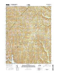
2016 Map of Belmont
USGS Topo · Published 2016About this map
Lake Anna defines the southwestern corner of this landscape, its waters reaching into Childs Cove and framing the residential developments near Perkinson Point. The terrain is marked by the winding courses of Catharpin Run and Terrys Run, which flow through a predominantly rural area along the border of Orange and Spotsylvania counties. This 2016 survey highlights a pattern of small rural centers and family-named crossroads, including Bells Crossroad, Porters, and Paytes.
Find a feature on this map
117 named features on this map. Tap any name to fly to it.
Don’t see what you’re looking for? This feature index may not catch every label — zoom into the map to look around manually.
Map Details
Editions of this 2016 Belmont Map
This is the sole edition of this map. No revisions or reprints were ever made.
Other maps of this area

1887 · Spottsylvania
USGS Topo · 1:125,000

1892 · Spottsylvania
USGS Topo · 1:125,000

1942 · Mineral
USGS Topo · 1:31,680

1942 · Lahore
USGS Topo · 1:31,680

1942 · Partlow
USGS Topo · 1:31,680

1942 · Belmont
USGS Topo · 1:31,680

1942 · Contrary Creek
USGS Topo · 1:31,680

1942 · Brokenburg
USGS Topo · 1:31,680

1943 · Chancellorsville
USGS Topo · 1:24,000

1943 · Mine Run
USGS Topo · 1:24,000