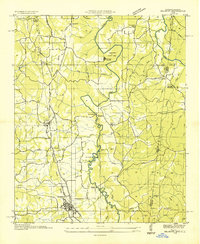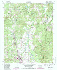
1950 Map of Belmont
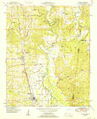
USGS Topo · Published 1985About this map
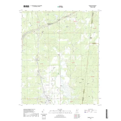
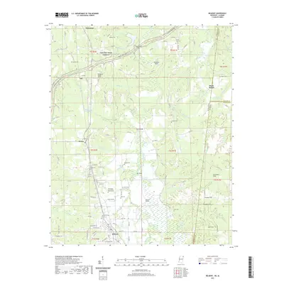
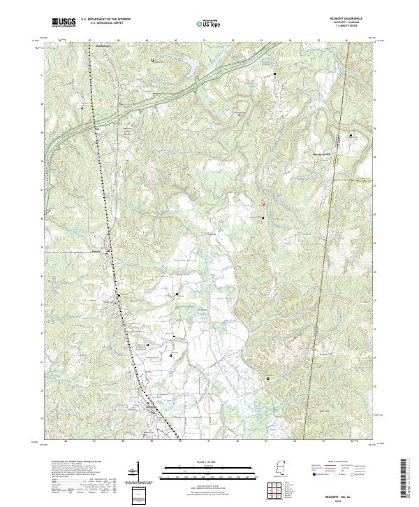
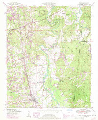
Belmont serves as the focal point of this 1950s survey, updated in the mid-1980s to show the town's growth along the Illinois Central Gulf rail line. The landscape is defined by the Tennessee Valley Divide, a prominent ridge that separates the drainage systems of this border region. To the east, Tishomingo State Park preserves the land around the winding Bear Creek, where the water carves through terrain at Horseshoe Bend. The presence of the Natchez Trace Parkway cutting across the northern reaches connects this area to the broader regional history of travel and transit. Genealogists will find significant detail in the rural settlements and family landmarks scattered throughout the hills, including Joel Cem near the Dennis community and several country churches like Bethany Ch and Providence Ch that anchored these local neighborhoods.
Find a feature on this map
54 named features on this map. Tap any name to fly to it.
Don’t see what you’re looking for? This feature index may not catch every label — zoom into the map to look around manually.
Map Details
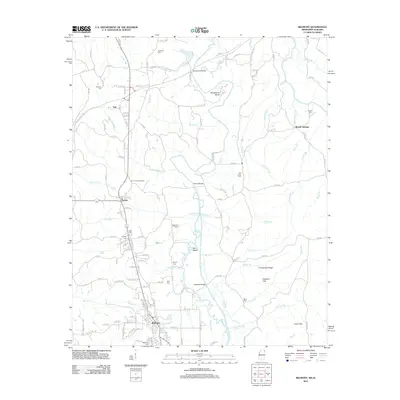
Editions of this 1950 Belmont Map
2 editions found
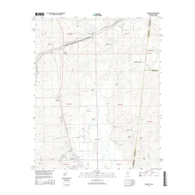
Historical Maps of Belmont Through Time
8 maps found