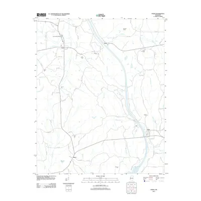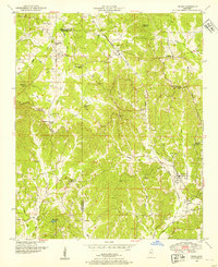
1950 Map of Paden
USGS Topo · Published 1954About this map
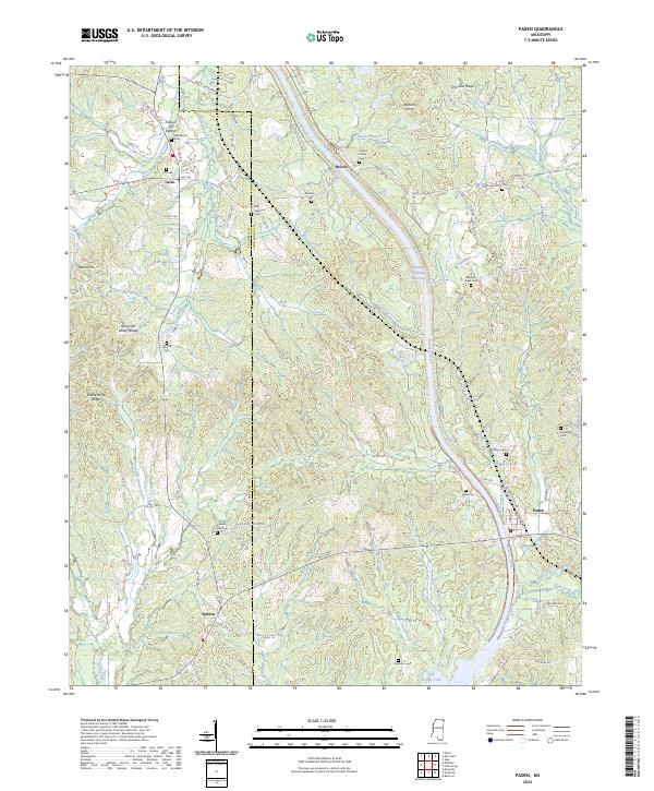
Paden sits at a critical junction of mid-century infrastructure in Tishomingo County, where the Illinois Central railroad corridor meets the winding path of the historic Natchez Trace. This map documents a rural landscape defined by the Tennessee Valley Divide, with water flowing north through Yellow Creek and south through the complex drainage of Mackeys Creek. The settlement pattern is largely agricultural, anchored by numerous country churches and family cemeteries that served the local population before the widespread expansion of modern highways. Notable landmarks include the Pollard Mill on Pollard Mill Creek and a network of community centers like Cairo and Burton. The map captures the region just as the Burton Lake area and the surrounding hills, such as Barnett Knob and Odom Hill, remained predominantly rural, preserving the location of local institutions like Forked Oak Church and New Lebanon Church.
Find a feature on this map
39 named features on this map. Tap any name to fly to it.
Don’t see what you’re looking for? This feature index may not catch every label — zoom into the map to look around manually.
Map Details
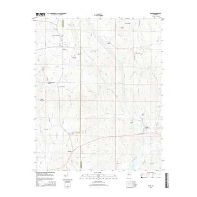
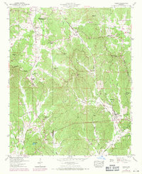
Editions of this 1950 Paden Map
3 editions found
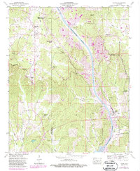
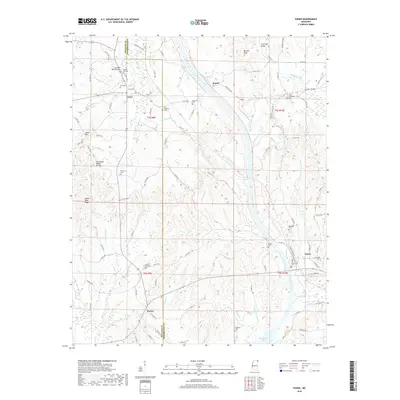
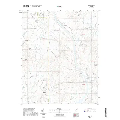
Historical Maps of Paden Through Time
6 maps found