1950 Map of Paden
USGS Topo · Published 1986About this map
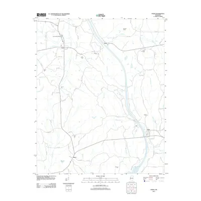
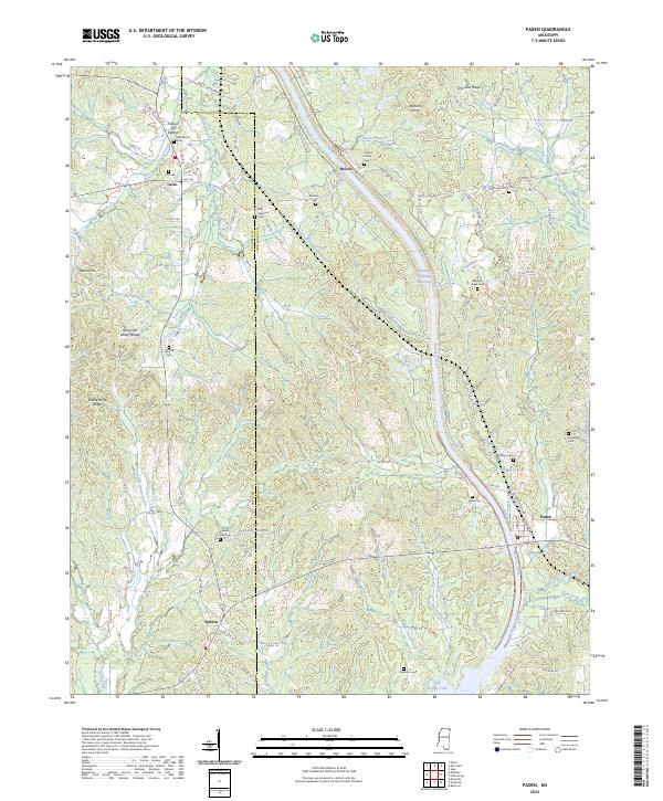
The Tennessee-Tombigbee Waterway cuts a massive engineered path through the center of this Tishomingo and Prentiss County landscape, a defining feature of the region's 20th-century modernization. The map documents the area during a period of transition, showing the alignment of the waterway alongside the historic Natchez Trace and the Illinois Central Gulf railroad. Scattered across the wooded terrain are numerous small rural centers and landmarks vital to local genealogy, including Cairo, Paden, and Burton. The topography is marked by the Tennessee Valley Divide, where waters flow into different systems via Yellow Creek, Mackeys Creek, and Cripple Deer Creek. Researchers will find a high density of country houses of worship such as Forked Oak Church, Lambert Chapel, and Fairview Ch, along with family burial sites like Hill Cem and the Stephens Cem, providing a detailed look at the social fabric of these northeast Mississippi communities.
Find a feature on this map
39 named features on this map. Tap any name to fly to it.
Don’t see what you’re looking for? This feature index may not catch every label — zoom into the map to look around manually.
Map Details
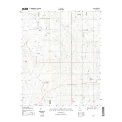
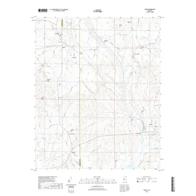
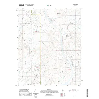
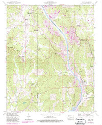
Editions of this 1950 Paden Map
3 editions found
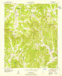
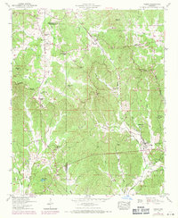
Historical Maps of Paden Through Time
6 maps found