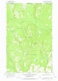
1969 Map of Belshazzar Mtn
USGS Topo · Published 1978About this map
Colville National Forest dominates this northern frontier in the late 1960s, where the rugged topography of the Selkirk Mountains meets the international boundary between Washington and British Columbia. The map reveals a landscape defined by small-scale resource extraction and isolated outposts, centered around the Rose Ranch and several family or claim-named peaks. Prospecting history is etched into the terrain through sites like the Chief Joseph Mine and Abe Lincoln Mine near the northern border, and the Bullion Mine to the south.
Find a feature on this map
37 named features on this map. Tap any name to fly to it.
Don’t see what you’re looking for? This feature index may not catch every label — zoom into the map to look around manually.
Map Details
Editions of this 1969 Belshazzar Mtn Map
2 editions found
Other maps of this area

1929 · Colville
USGS Topo · 1:125,000

1933 · Colville
USGS Topo · 1:125,000

1936 · Marcus
USGS Topo · 1:96,000

1942 · Marcus
USGS Topo · 1:125,000

1948 · Orient
USGS Topo · 1:62,500

1951 · Orient
USGS Topo · 1:62,500

1954 · Okanogan
USGS Topo · 1:250,000

1958 · Okanogan
USGS Topo · 1:250,000

1958 · Sandpoint
USGS Topo · 1:250,000

1963 · Sandpoint
USGS Topo · 1:250,000