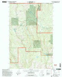
1992 Map of Belshazzar Mtn
USGS Topo · Published 1996About this map
Colville National Forest dominates this northern Washington landscape, where the high ridges of Belshazzar Mtn and Lead Pencil Mtn overlook a complex network of glacial lakes and drainages. The area is defined by its industrial history and remote character, positioned directly along the international border with Canada. Local mining activity is evidenced by the presence of the Chief Joseph Mine, Abe Lincoln Mine, and Bullion Mine, indicating the resource extraction that once shaped the region's economy.
Find a feature on this map
33 named features on this map. Tap any name to fly to it.
Don’t see what you’re looking for? This feature index may not catch every label — zoom into the map to look around manually.
Map Details
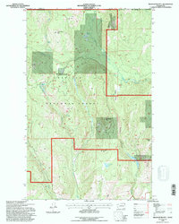
Editions of this 1992 Belshazzar Mtn Map
2 editions found
Other maps of this area

1929 · Colville
USGS Topo · 1:125,000

1933 · Colville
USGS Topo · 1:125,000

1936 · Marcus
USGS Topo · 1:96,000

1942 · Marcus
USGS Topo · 1:125,000

1948 · Orient
USGS Topo · 1:62,500

1951 · Orient
USGS Topo · 1:62,500

1954 · Okanogan
USGS Topo · 1:250,000

1958 · Okanogan
USGS Topo · 1:250,000

1958 · Sandpoint
USGS Topo · 1:250,000

1963 · Sandpoint
USGS Topo · 1:250,000