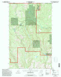
1992 Map of Belshazzar Mtn
USGS Topo · Published 1996About this map
Colville National Forest dominates this landscape along the international border in northern Stevens County, capturing the remote mountainous character of the Pacific Northwest in the early 1990s. The terrain is defined by significant elevations like Belshazzar Mtn and Cougar Mtn, which frame deep drainage systems such as Pepoon Canyon and Big Sheep Creek. This geography influenced a scattered pattern of resource extraction and ranching, evidenced by the presence of Rose Ranch and several historical mineral claims including the Chief Joseph Mine, Abt Lincoln Mine, and Bullion Mine. Water sources are abundant across the ridges, with named features such as Zodiac Spring, Lead Pencil Spring, and Ansaldo Lake serving as critical landmarks for those navigating the high country. The map illustrates the intersection of federal forest management and private land use near the British Columbia Washington boundary line, where forest roads and trails provide the primary access to these isolated peaks.
Find a feature on this map
28 named features on this map. Tap any name to fly to it.
Don’t see what you’re looking for? This feature index may not catch every label — zoom into the map to look around manually.
Map Details
Editions of this 1992 Belshazzar Mtn Map
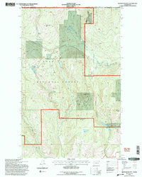
2 editions found
Other maps of this area

1929 · Colville
USGS Topo · 1:125,000

1933 · Colville
USGS Topo · 1:125,000

1936 · Marcus
USGS Topo · 1:96,000

1942 · Marcus
USGS Topo · 1:125,000

1948 · Orient
USGS Topo · 1:62,500

1951 · Orient
USGS Topo · 1:62,500

1954 · Okanogan
USGS Topo · 1:250,000

1958 · Okanogan
USGS Topo · 1:250,000

1958 · Sandpoint
USGS Topo · 1:250,000

1963 · Sandpoint
USGS Topo · 1:250,000