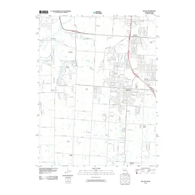
2009 Map of Belton
USGS Topo · Published 2009About this map
The city of Belton serves as the focal point of this 2009 landscape, showing a period of significant suburban expansion along the Missouri and Kansas border. Residential developments are clearly defined alongside established landmarks such as the Belton Cemetery and the Belton Post Office. The infrastructure of the era is marked by the BNSF Railway and the Villnave Airport, reflecting a mix of commercial transport and private aviation.
Find a feature on this map
177 named features on this map. Tap any name to fly to it.
Don’t see what you’re looking for? This feature index may not catch every label — zoom into the map to look around manually.
Map Details
Editions of this 2009 Belton Map
This is the sole edition of this map. No revisions or reprints were ever made.
Other maps of this area

1887 · Harrisonville
USGS Topo · 1:125,000

1887 · Olathe
USGS Topo · 1:125,000

1892 · Harrisonville
USGS Topo · 1:125,000

1893 · Olathe
USGS Topo · 1:125,000

1894 · Harrisonville
USGS Topo · 1:125,000

1934 · Grandview
USGS Topo · 1:24,000

1934 · Lees Summit
USGS Topo · 1:24,000

1935 · Lenexa
USGS Topo · 1:24,000

1939 · Grandview
USGS Topo · 1:31,680

1939 · Lees Summit
USGS Topo · 1:31,680