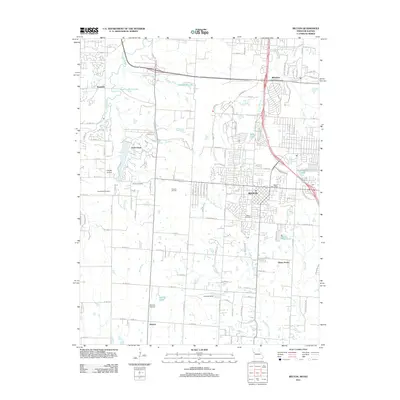
2011 Map of Belton
USGS Topo · Published 2011About this map
Belton serves as the central hub of this 2011 survey, showing a landscape defined by suburban expansion and persisting agricultural roots south of Kansas City. The terrain is drained by the Blue River and Little Blue River, with residential developments like Loch Lloyd and Belvidere clustered around various water bodies, including Neff Lake and Springdale Lake. For local historians, the map provides precise locations for several burial grounds, including Belton Cemetery, Woodland Cemetery, and Bryant Cemetery, offering critical data for genealogical research.
Find a feature on this map
66 named features on this map. Tap any name to fly to it.
Don’t see what you’re looking for? This feature index may not catch every label — zoom into the map to look around manually.
Map Details
Editions of this 2011 Belton Map
This is the sole edition of this map. No revisions or reprints were ever made.
Other maps of this area

1887 · Harrisonville
USGS Topo · 1:125,000

1887 · Olathe
USGS Topo · 1:125,000

1892 · Harrisonville
USGS Topo · 1:125,000

1893 · Olathe
USGS Topo · 1:125,000

1894 · Harrisonville
USGS Topo · 1:125,000

1934 · Grandview
USGS Topo · 1:24,000

1934 · Lees Summit
USGS Topo · 1:24,000

1935 · Lenexa
USGS Topo · 1:24,000

1939 · Grandview
USGS Topo · 1:31,680

1939 · Lees Summit
USGS Topo · 1:31,680