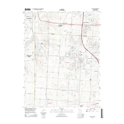
2015 Map of Belton
USGS Topo · Published 2015About this map
State Line Rd serves as the primary longitudinal axis for this 2015 study, marking the boundary between the Missouri and Kansas borderlands. On the Missouri side, the suburban sprawl of Belton and Grandview contrasts with the managed landscapes of Loch Lloyd and the smaller, outlying settlements of Jaudon and Olson Acres. The transition from urbanized street grids to more open acreage is punctuated by several small airfields, including Hillside Airport and Robinson Airport.
Find a feature on this map
223 named features on this map. Tap any name to fly to it.
Don’t see what you’re looking for? This feature index may not catch every label — zoom into the map to look around manually.
Map Details
Editions of this 2015 Belton Map
This is the sole edition of this map. No revisions or reprints were ever made.
Other maps of this area

1887 · Harrisonville
USGS Topo · 1:125,000

1887 · Olathe
USGS Topo · 1:125,000

1892 · Harrisonville
USGS Topo · 1:125,000

1893 · Olathe
USGS Topo · 1:125,000

1894 · Harrisonville
USGS Topo · 1:125,000

1934 · Grandview
USGS Topo · 1:24,000

1934 · Lees Summit
USGS Topo · 1:24,000

1935 · Lenexa
USGS Topo · 1:24,000

1939 · Grandview
USGS Topo · 1:31,680

1939 · Lees Summit
USGS Topo · 1:31,680