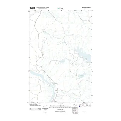
2011 Map of Belvedere
USGS Topo · Published 2011About this map
The Columbia River defines the southwestern edge of this landscape, where small settlements like Elmer City and Koontzville are concentrated along the riverbanks. Moving inland from the water, the terrain is characterized by a series of high-elevation lakes and ephemeral drainages. Significant bodies of water such as Buffalo Lake, McGinnis Lake, and Rebecca Lake are connected by a network of local routes, including Buffalo Lake Rd S and Rebecca Lake Rd.
Find a feature on this map
25 named features on this map. Tap any name to fly to it.
Don’t see what you’re looking for? This feature index may not catch every label — zoom into the map to look around manually.
Map Details
Editions of this 2011 Belvedere Map
This is the sole edition of this map. No revisions or reprints were ever made.
Other maps of this area

1948 · Grand Coulee Dam
USGS Topo · 1:62,500

1950 · Grand Coulee Dam
USGS Topo · 1:62,500

1950 · Nespelem
USGS Topo · 1:62,500

1950 · Alameda Flat
USGS Topo · 1:62,500

1952 · Alameda Flat
USGS Topo · 1:62,500

1953 · Ritzville
USGS Topo · 1:250,000

1954 · Okanogan
USGS Topo · 1:250,000

1958 · Okanogan
USGS Topo · 1:250,000

1959 · Ritzville
USGS Topo · 1:250,000

1965 · Ritzville
USGS Topo · 1:250,000