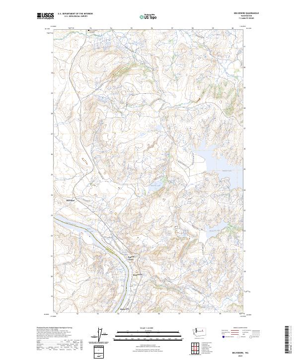
2023 Map of Belvedere
USGS Topo · Published 2023About this map
The Columbia River and its reservoir, Rufus Woods Lake, define the southern reach of this landscape on the border of Okanogan and Douglas counties. This 2023 survey illustrates a cluster of river-bound settlements, including Seatons Grove, Koontzville, and Elmer City, as they sit today at the edge of the Colville Reservation. To the north, the terrain transitions into a plateau of significant water bodies and high-elevation routes like Buffalo Lake Rd S.
Find a feature on this map
35 named features on this map. Tap any name to fly to it.
Don’t see what you’re looking for? This feature index may not catch every label — zoom into the map to look around manually.
Map Details
Editions of this 2023 Belvedere Map
This is the sole edition of this map. No revisions or reprints were ever made.
Other maps of this area

1948 · Grand Coulee Dam
USGS Topo · 1:62,500

1950 · Grand Coulee Dam
USGS Topo · 1:62,500

1950 · Nespelem
USGS Topo · 1:62,500

1950 · Alameda Flat
USGS Topo · 1:62,500

1952 · Alameda Flat
USGS Topo · 1:62,500

1953 · Ritzville
USGS Topo · 1:250,000

1954 · Okanogan
USGS Topo · 1:250,000

1958 · Okanogan
USGS Topo · 1:250,000

1959 · Ritzville
USGS Topo · 1:250,000

1965 · Ritzville
USGS Topo · 1:250,000