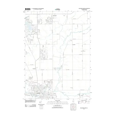
2012 Map of Belvidere North
USGS Topo · Published 2012About this map
Belvidere serves as the focal point of this northern Illinois survey, situated along the banks of the Kishwaukee River. The map captures the city's organized street grid and its surrounding landscape of rural crossroads and growing residential pockets like Timberlane and Poplar Grove. A dense network of burial grounds, including the large Belvidere Cem, Saint James Catholic Cem, and the more remote Lawrenceville Cem, provides significant detail for genealogical research. The region's transport and recreational infrastructure is well-defined, featuring the Poplar Grove Airport and the expansive Highland Garden of Memories. Waterways such as Piscasaw Cr and Beaver Cr traverse the township, while landmarks like Camp Epworth and Belvidere Park indicate the area's established community spaces and local heritage.
Find a feature on this map
122 named features on this map. Tap any name to fly to it.
Don’t see what you’re looking for? This feature index may not catch every label — zoom into the map to look around manually.
Map Details
Editions of this 2012 Belvidere North Map
This is the sole edition of this map. No revisions or reprints were ever made.
Other maps of this area

1918 · Belvidere
USGS Topo · 1:62,500

1918 · Kirkland
USGS Topo · 1:62,500

1932 · Harvard
USGS Topo · 1:48,000

1937 · Harvard
USGS Topo · 1:62,500

1938 · Genoa
USGS Topo · 1:62,500

1944 · Belvidere
USGS Topo · 1:62,500

1954 · Rockford
USGS Topo · 1:250,000

1955 · Rockford
USGS Topo · 1:250,000

1958 · Rockford
USGS Topo · 1:250,000

1963 · Rockford
USGS Topo · 1:250,000