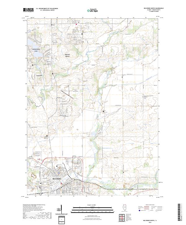
2024 Map of Belvidere North
USGS Topo · Published 2024About this map
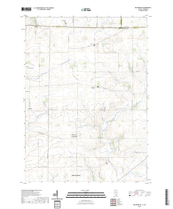
Poplar Grove and the northern reaches of Belvidere anchor this northern Illinois landscape, where the agricultural grid meets modern residential expansion and established civic institutions. The southern edge of the sheet captures the historic heart of the county seat, including the Boone County Courthouse and the extensive grounds of Belvidere Cem. This area demonstrates a dense network of local history, from the Saint James Catholic Cem to the Highland Garden of Memories.
Find a feature on this map
161 named features on this map. Tap any name to fly to it.
Don’t see what you’re looking for? This feature index may not catch every label — zoom into the map to look around manually.
Map Details
Editions of this 2024 Belvidere North Map
This is the sole edition of this map. No revisions or reprints were ever made.
Historical Maps of Poplar Grove Township Through Time
9 maps found
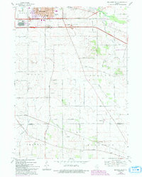
1968 Belvidere South
Boone County, IL

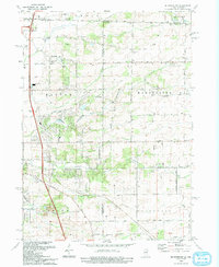
1970 Belvidere NE
Boone County, IL
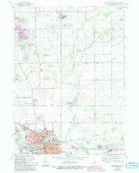
1970 Belvidere North
Boone County, IL
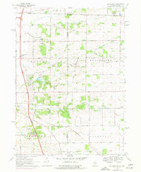
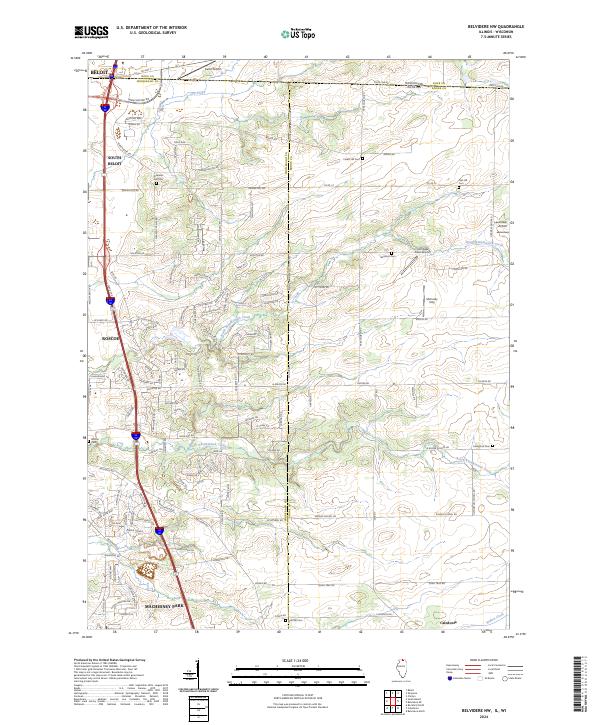
1970 Belvidere NW
Boone County, IL
1993 Belvidere NW
Boone County, IL
2024 Belvidere NE
Boone County, IL
2024 Belvidere North
Boone County, IL
2024 Belvidere NW
Boone County, IL
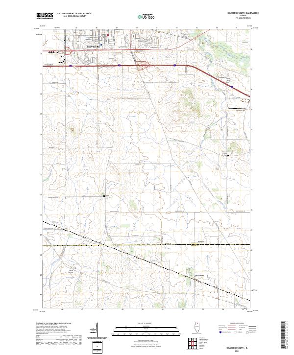
2024 Belvidere South
Boone County, IL