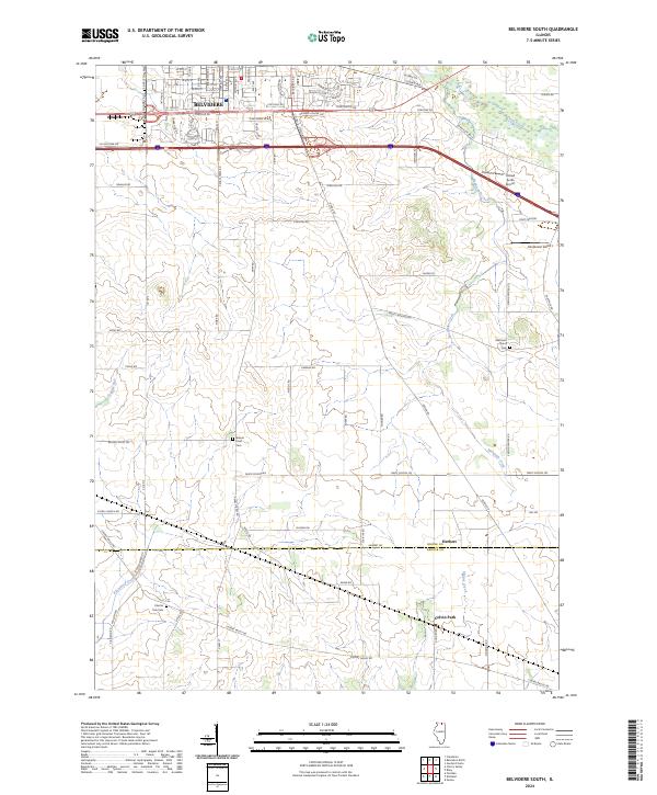
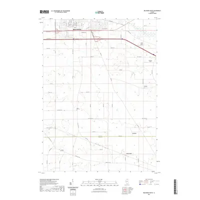
2024 Map of Belvidere South
USGS Topo · Published 2024About this map
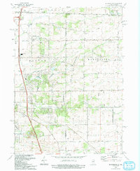
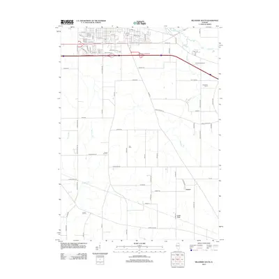
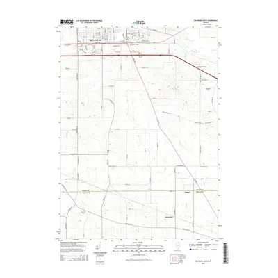
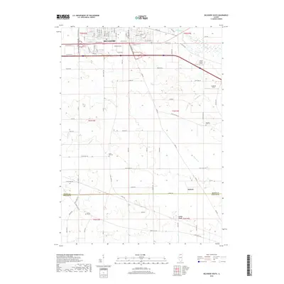
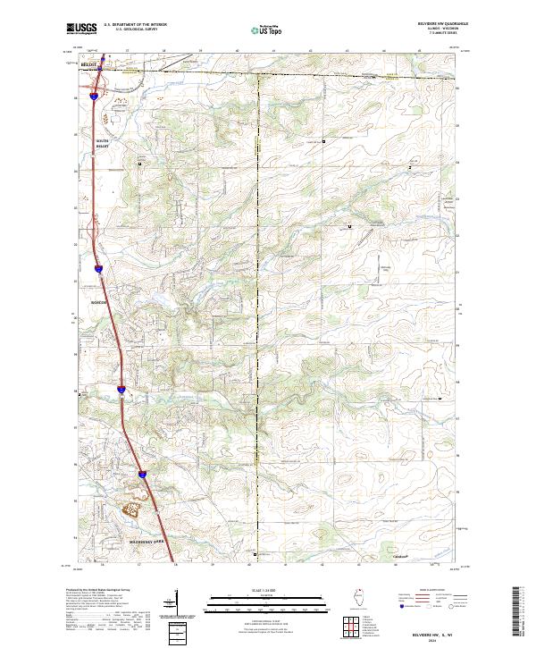
Belvidere serves as the urban anchor at the northern edge of this landscape, where the street grid of the city transitions into the agricultural expanse of southern Boone County. The area is defined by its rural road network and a series of north-south running waterways, including Coon Creek and Mosquito Creek, which drain the undulating farm country. Further south, the boundary between Boone Co and DeKalb Co marks the southern limit of the survey, where the small communities of Herbert and Colvin Park sit along the primary thoroughfares.
Find a feature on this map
85 named features on this map. Tap any name to fly to it.
Don’t see what you’re looking for? This feature index may not catch every label — zoom into the map to look around manually.
Map Details
Editions of this 2024 Belvidere South Map
This is the sole edition of this map. No revisions or reprints were ever made.
Historical Maps of Belvidere Through Time
26 maps found
1968 Belvidere South
Boone County, IL

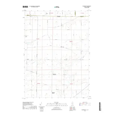
1970 Belvidere NE
Boone County, IL
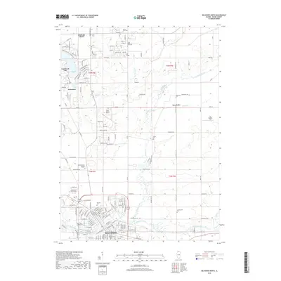
1970 Belvidere North
Boone County, IL
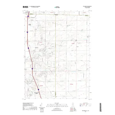
1970 Belvidere NW
Boone County, IL
1993 Belvidere NW
Boone County, IL
2012 Belvidere NE
Boone County, IL
2012 Belvidere North
Boone County, IL
2012 Belvidere NW
Boone County, IL
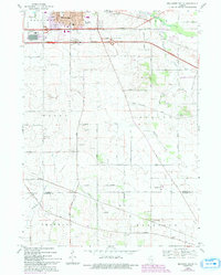
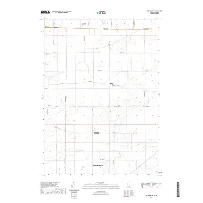
2012 Belvidere South
Boone County, IL
2015 Belvidere NE
Boone County, IL
2015 Belvidere North
Boone County, IL
2015 Belvidere NW
Boone County, IL
2015 Belvidere South
Boone County, IL
2018 Belvidere NE
Boone County, IL
2018 Belvidere North
Boone County, IL
2018 Belvidere NW
Boone County, IL
2018 Belvidere South
Boone County, IL
2021 Belvidere NE
Boone County, IL
2021 Belvidere North
Boone County, IL
2021 Belvidere NW
Boone County, IL
2021 Belvidere South
Boone County, IL
2023 Belvidere North
Boone County, IL
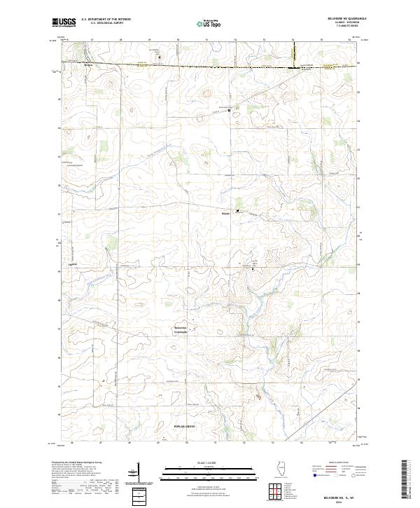
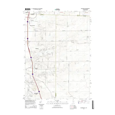
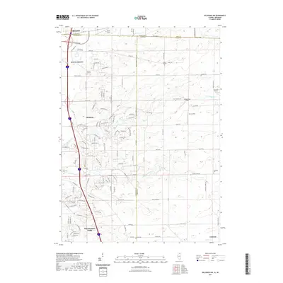
2024 Belvidere NE
Boone County, IL
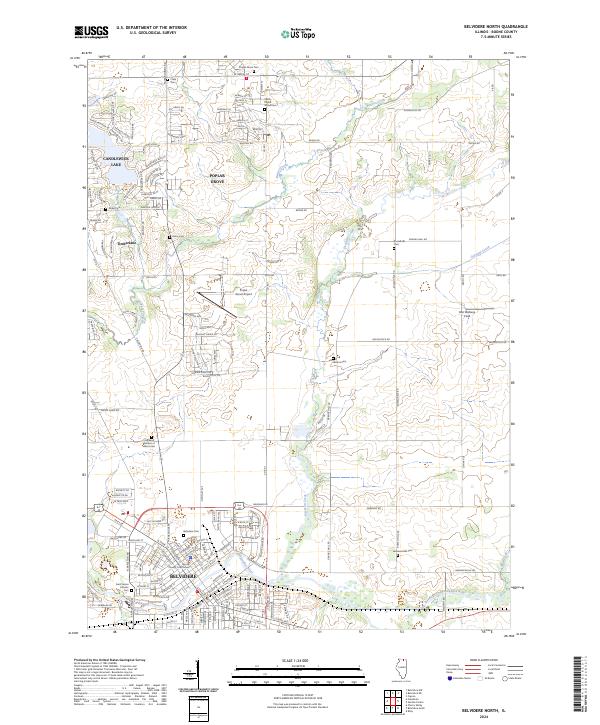
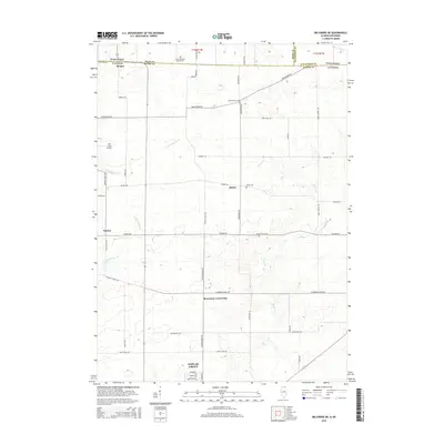
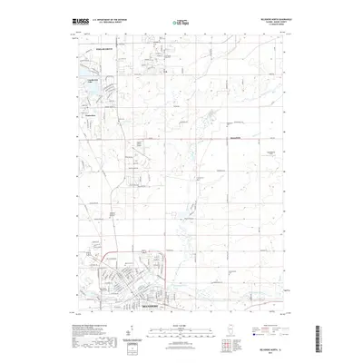
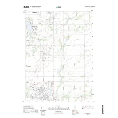
2024 Belvidere North
Boone County, IL
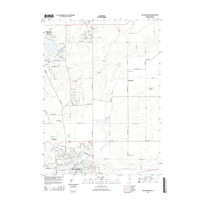
2024 Belvidere NW
Boone County, IL
2024 Belvidere South
Boone County, IL
Featured Locations
- Kingston Township, IL
- Bonus Township, IL
- Flora Township, IL
- Spring Township, IL
- Belvidere, Belvidere Township