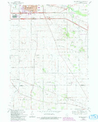
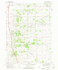
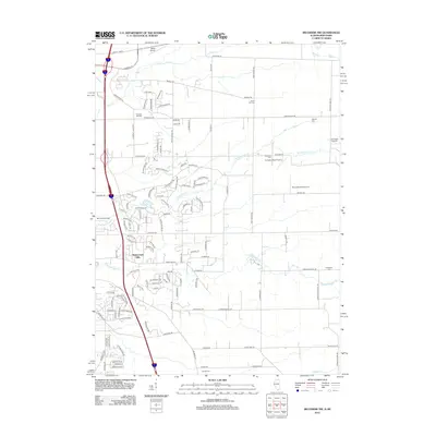
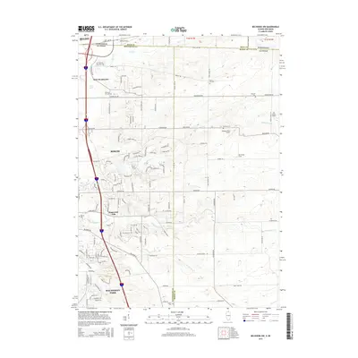
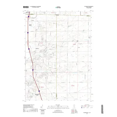
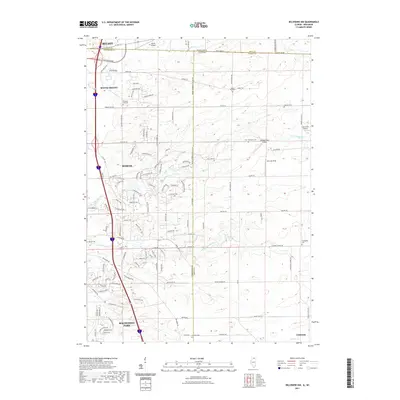
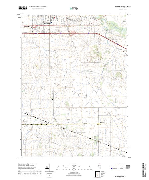
1968 Map of Belvidere South
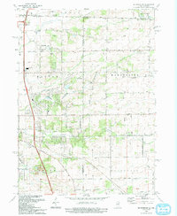
USGS Topo · Published 1993About this map
The Chicago and North Western corridor and the Northwest Tollway anchor this mid-century landscape south of Belvidere, Illinois. The map captures a moment of infrastructure expansion, showing the Belvidere Service Area and specific tollgates alongside traditional rural landmarks. Agricultural life is evidenced by the Grange Hall and specialized sites like the Fruit Farm, while the southern portion of the quadrangle marks the crossing into DeKalb County at Herbert.
Find a feature on this map
51 named features on this map. Tap any name to fly to it.
Don’t see what you’re looking for? This feature index may not catch every label — zoom into the map to look around manually.
Map Details
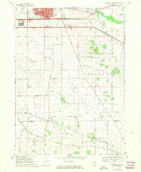
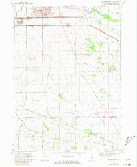
Editions of this 1968 Belvidere South Map
3 editions found
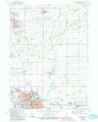
Historical Maps of Belvidere Through Time
26 maps found
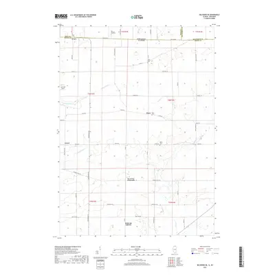
1968 Belvidere South
Boone County, IL

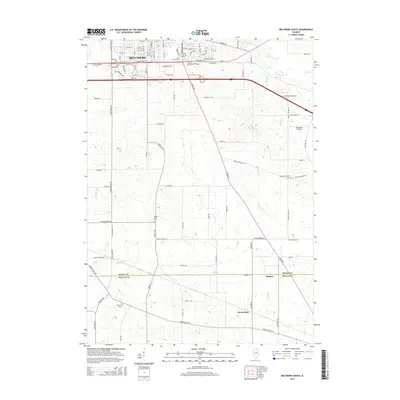
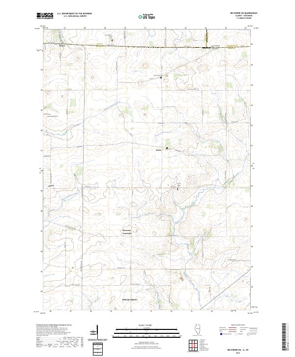
1970 Belvidere NE
Boone County, IL
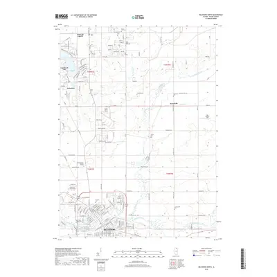
1970 Belvidere North
Boone County, IL
1970 Belvidere NW
Boone County, IL
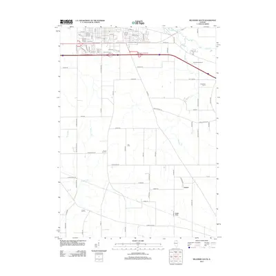
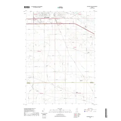
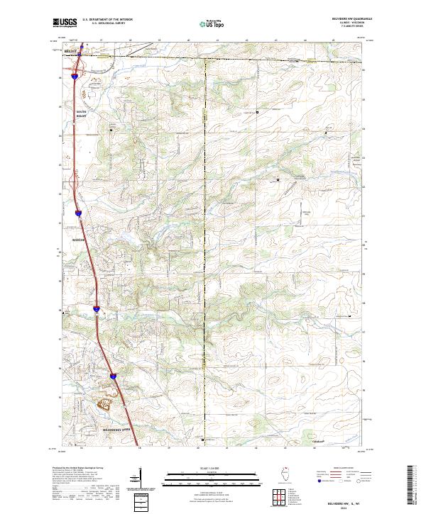
1993 Belvidere NW
Boone County, IL
2012 Belvidere NE
Boone County, IL
2012 Belvidere North
Boone County, IL
2012 Belvidere NW
Boone County, IL
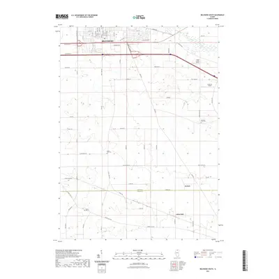
2012 Belvidere South
Boone County, IL
2015 Belvidere NE
Boone County, IL
2015 Belvidere North
Boone County, IL
2015 Belvidere NW
Boone County, IL
2015 Belvidere South
Boone County, IL
2018 Belvidere NE
Boone County, IL
2018 Belvidere North
Boone County, IL
2018 Belvidere NW
Boone County, IL
2018 Belvidere South
Boone County, IL
2021 Belvidere NE
Boone County, IL
2021 Belvidere North
Boone County, IL
2021 Belvidere NW
Boone County, IL
2021 Belvidere South
Boone County, IL
2023 Belvidere North
Boone County, IL
2024 Belvidere NE
Boone County, IL
2024 Belvidere North
Boone County, IL
2024 Belvidere NW
Boone County, IL
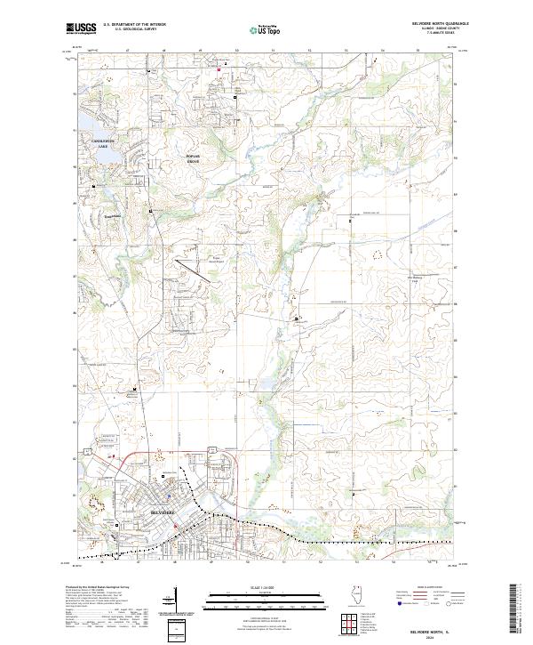
2024 Belvidere South
Boone County, IL
Featured Locations
- Franklin Township, IL
- Flora Township, IL
- Spring Township, IL
- Belvidere Township, IL
- Belvidere, Belvidere Township