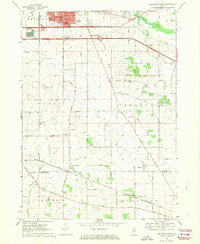
1968 Map of Belvidere South
USGS Topo · Published 1970About this map
Belvidere's southern expansion and the surrounding rural townships of Bonus, Flora, and Spring reflect a landscape in transition during the late 1960s. The northern portion is dominated by the modern infrastructure of the Northwest Tollway and the Belvidere Service Area, while the Illinois Central railroad cuts a diagonal path through the agricultural south. This survey provides a distinct record of rural community life through scattered landmarks like the Grange Hall and the Drive-in Theater near the city's edge. Family and local history is preserved in small burial grounds such as Bloods Point Cem and Charter Oak Cem, which sit among numerous Gravel Pits that suggest the area's geological and industrial utility. Smaller hamlets like Herbert and Colvin Park serve as focal points for the farming districts along Mosquito Creek and Coon Creek.
Find a feature on this map
42 named features on this map. Tap any name to fly to it.
Don’t see what you’re looking for? This feature index may not catch every label — zoom into the map to look around manually.
Map Details
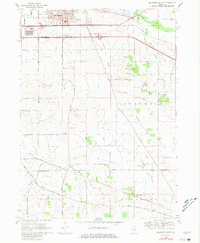
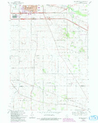
Editions of this 1968 Belvidere South Map
3 editions found
Other maps of this area

1918 · Belvidere
USGS Topo · 1:62,500

1918 · Kirkland
USGS Topo · 1:62,500

1932 · Harvard
USGS Topo · 1:48,000

1937 · Harvard
USGS Topo · 1:62,500

1938 · Genoa
USGS Topo · 1:62,500

1944 · Belvidere
USGS Topo · 1:62,500

1954 · Rockford
USGS Topo · 1:250,000

1955 · Rockford
USGS Topo · 1:250,000

1958 · Rockford
USGS Topo · 1:250,000

1963 · Rockford
USGS Topo · 1:250,000