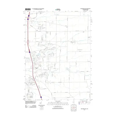
2012 Map of Belvidere NW
USGS Topo · Published 2012About this map
The Wisconsin Illinois border defines the upper edge of this survey, where the outskirts of Beloit meet a landscape increasingly marked by residential development and aviation infrastructure. A network of small airfields, including Beloit Airport and the Mc Curdy Strip Airport, punctuates the northern terrain, reflecting a region deeply integrated with private aviation. The southern portion of the map transitions toward more established residential areas like Greystone and Prairie Flower, while the natural drainage of N Kinnikinnick Cr and S Kinnikinnick Cr carves through the undulating topography of Stagecoach Hills. For the local historian, several family and community burial grounds, such as Pinnacle Hill Cem and Scotch Cem, offer critical points for genealogical research, anchoring the modern map to its 19th-century settlement roots.
Find a feature on this map
131 named features on this map. Tap any name to fly to it.
Don’t see what you’re looking for? This feature index may not catch every label — zoom into the map to look around manually.
Map Details
Editions of this 2012 Belvidere NW Map
This is the sole edition of this map. No revisions or reprints were ever made.
Other maps of this area

1891 · Janesville
USGS Topo · 1:62,500

1893 · Janesville
USGS Topo · 1:62,500

1893 · Shopiere
USGS Topo · 1:62,500

1918 · Rockford
USGS Topo · 1:62,500

1918 · Belvidere
USGS Topo · 1:62,500

1938 · Rockford
USGS Topo · 1:62,500

1944 · Belvidere
USGS Topo · 1:62,500

1949 · Rockford
USGS Topo · 1:24,000

1954 · Rockford
USGS Topo · 1:250,000

1955 · Rockford
USGS Topo · 1:250,000