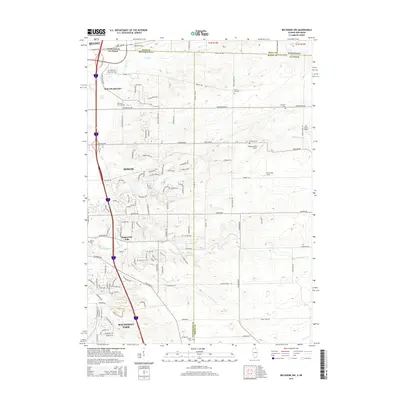
2015 Map of Belvidere NW
USGS Topo · Published 2015About this map
Beloit and South Beloit anchor the northern edge of this landscape, where the Illinois-Wisconsin state line divides the urban corridor. Following the Interstate 39 corridor south, the residential and commercial growth of Roscoe and Machesney Park becomes evident, punctuated by older landmarks like Stagecoach Hills. This area is defined by the drainage of N Kinnikinnick Cr and S Kinnikinnick Cr, which wind through a mix of suburban development and rural agricultural plots.
Find a feature on this map
57 named features on this map. Tap any name to fly to it.
Don’t see what you’re looking for? This feature index may not catch every label — zoom into the map to look around manually.
Map Details
Editions of this 2015 Belvidere NW Map
This is the sole edition of this map. No revisions or reprints were ever made.
Other maps of this area
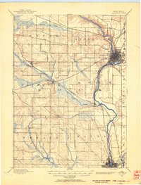
1891 · Janesville
USGS Topo · 1:62,500
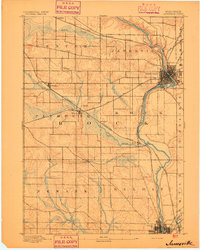
1893 · Janesville
USGS Topo · 1:62,500
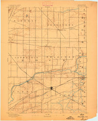
1893 · Shopiere
USGS Topo · 1:62,500
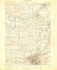
1918 · Rockford
USGS Topo · 1:62,500
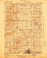
1918 · Belvidere
USGS Topo · 1:62,500
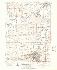
1938 · Rockford
USGS Topo · 1:62,500
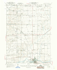
1944 · Belvidere
USGS Topo · 1:62,500
1949 · Rockford
USGS Topo · 1:24,000

1954 · Rockford
USGS Topo · 1:250,000

1955 · Rockford
USGS Topo · 1:250,000