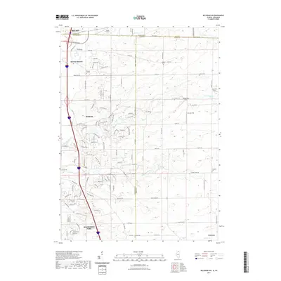
2021 Map of Belvidere NW
USGS Topo · Published 2021About this map
The Wisconsin-Illinois state line bisects this landscape, separating Beloit and South Beloit while framing the northward growth of Roscoe and Machesney Park. This borderland is defined by the winding courses of Kinnikinnick Creek and its north and south forks, which cut through the suburban developments and agricultural tracts. A cluster of small aviation landmarks, including Beloit Airport, Compass Rose Airport, and the Lee Creek Airport, indicates the importance of private and regional flight in this corridor. Genealogists will find a high density of burial sites across the Illinois side, including the Scottish Cem near Caledonia, and the Pinnacle Hill Cem situated near the prominent Pinnacle Hill landmark.
Find a feature on this map
99 named features on this map. Tap any name to fly to it.
Don’t see what you’re looking for? This feature index may not catch every label — zoom into the map to look around manually.
Map Details
Editions of this 2021 Belvidere NW Map
This is the sole edition of this map. No revisions or reprints were ever made.
Other maps of this area

1891 · Janesville
USGS Topo · 1:62,500

1893 · Janesville
USGS Topo · 1:62,500

1893 · Shopiere
USGS Topo · 1:62,500

1918 · Rockford
USGS Topo · 1:62,500

1918 · Belvidere
USGS Topo · 1:62,500

1938 · Rockford
USGS Topo · 1:62,500

1944 · Belvidere
USGS Topo · 1:62,500

1949 · Rockford
USGS Topo · 1:24,000

1954 · Rockford
USGS Topo · 1:250,000

1955 · Rockford
USGS Topo · 1:250,000