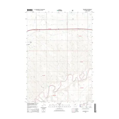
2015 Map of Belvidere SW
USGS Topo · Published 2015About this map
The winding loops of the White River dominate the southern landscape of this Jackson County region, creating a complex network of bluffs and drainage patterns that include Nancy Hanks Cr. To the north, the terrain transitions into the more open plains where Kadoka sits as the primary settlement. This area is a crossroads of regional transportation, showing the path of SD-248 alongside more local thoroughfares like S Creek Rd and Indian Creek Rd. Local history is anchored by Flat Top Cem located north of the interstate corridor, while modern infrastructure is represented by the Kadoka Municipal Airport. The map captures the distinct shift from the structured section lines of the northern prairies to the deeply eroded, irregular topography surrounding the river valley.
Find a feature on this map
17 named features on this map. Tap any name to fly to it.
Don’t see what you’re looking for? This feature index may not catch every label — zoom into the map to look around manually.
Map Details
Editions of this 2015 Belvidere SW Map
This is the sole edition of this map. No revisions or reprints were ever made.
Other maps of this area

1951 · Pass Creek NW
USGS Topo · 1:24,000

1951 · Belvidere
USGS Topo · 1:24,000

1951 · Kadoka
USGS Topo · 1:24,000

1951 · Belvidere SW
USGS Topo · 1:24,000

1951 · Wanblee NE
USGS Topo · 1:24,000

1951 · Pass Creek NE
USGS Topo · 1:24,000

1953 · Belvidere NE
USGS Topo · 1:24,000

1954 · Belvidere NW
USGS Topo · 1:24,000

1954 · Kadoka NE
USGS Topo · 1:24,000

1955 · Martin
USGS Topo · 1:250,000