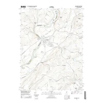
2014 Map of Belvidere
USGS Topo · Published 2014About this map
Belvidere sits at the confluence of the Delaware River and the Pequest River, serving as a focal point for this 2014 survey of the Pennsylvania-New Jersey border. The landscape is defined by the river’s winding path, featuring several prominent islands like Macks Island and McElhaneys Island, as well as the treacherous waters of Foul Rift. Along the eastern banks, the terrain rises toward Jenny Jump Mtn and Mt No More, overlooking a network of small settlements including Brookfield, Hazen, and Sarepta.
Find a feature on this map
59 named features on this map. Tap any name to fly to it.
Don’t see what you’re looking for? This feature index may not catch every label — zoom into the map to look around manually.
Map Details
Editions of this 2014 Belvidere Map
This is the sole edition of this map. No revisions or reprints were ever made.
Other maps of this area

1888 · Hackettstown
USGS Topo · 1:62,500

1890 · Easton
USGS Topo · 1:62,500

1890 · High Bridge
USGS Topo · 1:62,500

1891 · Easton
USGS Topo · 1:62,500

1891 · Delaware Water Gap
USGS Topo · 1:62,500

1893 · Delaware Water Gap
USGS Topo · 1:62,500

1894 · Hackettstown
USGS Topo · 1:62,500

1898 · Hackettstown
USGS Topo · 1:62,500

1898 · High Bridge
USGS Topo · 1:62,500

1900 · Raritan
USGS Topo · 1:125,000