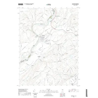
2019 Map of Belvidere
USGS Topo · Published 2019About this map
The Warren County Courthouse stands as the civic heart of Belvidere, a community defined by its position along the Delaware River and the mouth of the Pequest River. This landscape is characterized by its numerous river islands, including McElhaneys Island and Macks Island, and the treacherous water of Foul Rift. The terrain rises sharply to the east toward Jenny Jump Mtn, where small settlements like Sarepta and Bridgeville are connected by historical routes like Co Rd 519.
Find a feature on this map
154 named features on this map. Tap any name to fly to it.
Don’t see what you’re looking for? This feature index may not catch every label — zoom into the map to look around manually.
Map Details
Editions of this 2019 Belvidere Map
This is the sole edition of this map. No revisions or reprints were ever made.
Other maps of this area

1888 · Hackettstown
USGS Topo · 1:62,500

1890 · Easton
USGS Topo · 1:62,500

1890 · High Bridge
USGS Topo · 1:62,500

1891 · Easton
USGS Topo · 1:62,500

1891 · Delaware Water Gap
USGS Topo · 1:62,500

1893 · Delaware Water Gap
USGS Topo · 1:62,500

1894 · Hackettstown
USGS Topo · 1:62,500

1898 · Hackettstown
USGS Topo · 1:62,500

1898 · High Bridge
USGS Topo · 1:62,500

1900 · Raritan
USGS Topo · 1:125,000