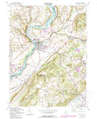
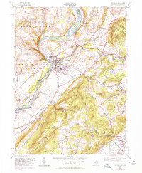
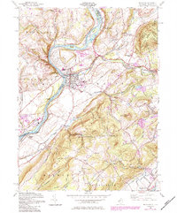
1955 Map of Belvidere
USGS Topo · Published 1988About this map
Belvidere serves as the focal point of this riverfront landscape, situated where the Pequest River joins the Delaware River. This mid-century survey illustrates a complex transportation and industrial corridor, featuring the Conrail lines and remnants of an Old RR Grade that supported the local economy. Beyond the town centers of Oxford and Bridgeville, the map reveals small rural communities such as Sarepta and Manunka Chunk, often organized around church and school buildings like the Montana Ch and the local High School.
Find a feature on this map
66 named features on this map. Tap any name to fly to it.
Don’t see what you’re looking for? This feature index may not catch every label — zoom into the map to look around manually.
Map Details
Editions of this 1955 Belvidere Map
6 editions found
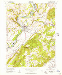
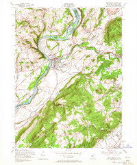
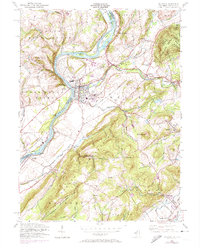
Other maps of this area

1888 · Hackettstown
USGS Topo · 1:62,500

1890 · Easton
USGS Topo · 1:62,500

1890 · High Bridge
USGS Topo · 1:62,500

1891 · Easton
USGS Topo · 1:62,500

1891 · Delaware Water Gap
USGS Topo · 1:62,500

1893 · Delaware Water Gap
USGS Topo · 1:62,500

1894 · Hackettstown
USGS Topo · 1:62,500

1898 · Hackettstown
USGS Topo · 1:62,500

1898 · High Bridge
USGS Topo · 1:62,500

1900 · Raritan
USGS Topo · 1:125,000