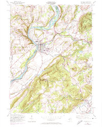
1955 Map of Belvidere
USGS Topo · Published 1974About this map
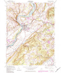
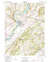
The Delaware River serves as the central artery for this mid-century survey, dividing the townships of Upper Mount Bethel and Lower Mount Bethel in Pennsylvania from the New Jersey interior. The borough of Belvidere sits at the confluence with the Pequest River, revealing a dense grid of residential streets, a High School, and the Hillside Cemetery. This period shows the region's heavy reliance on transportation, with the Penn Central and Lehigh and Hudson River railroads threading through the valleys to serve small rural hubs like Bridgeville Station and Roxburg Station.
Find a feature on this map
60 named features on this map. Tap any name to fly to it.
Don’t see what you’re looking for? This feature index may not catch every label — zoom into the map to look around manually.
Map Details
Editions of this 1955 Belvidere Map
6 editions found
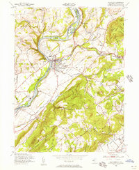
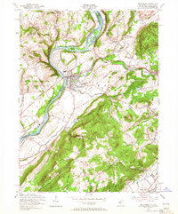
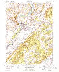
Other maps of this area

1888 · Hackettstown
USGS Topo · 1:62,500

1890 · Easton
USGS Topo · 1:62,500

1890 · High Bridge
USGS Topo · 1:62,500

1891 · Easton
USGS Topo · 1:62,500

1891 · Delaware Water Gap
USGS Topo · 1:62,500

1893 · Delaware Water Gap
USGS Topo · 1:62,500

1894 · Hackettstown
USGS Topo · 1:62,500

1898 · Hackettstown
USGS Topo · 1:62,500

1898 · High Bridge
USGS Topo · 1:62,500

1900 · Raritan
USGS Topo · 1:125,000