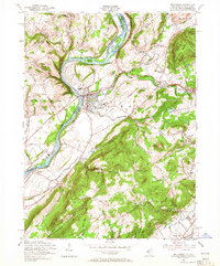
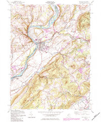
1955 Map of Belvidere
USGS Topo · Published 1965About this map
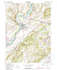
Belvidere sits at the confluence of the Delaware River and the Pequest River, serving as a focal point for the region's mid-century transit and industry. The landscape is defined by the sharp transition from the river lowlands to the elevated ridges of Jenny Jump Mountain and Mt No More. This 1955 revision documents a complex network of transportation, including the Lehigh and Hudson River RR and the Lackawanna and Western RR, which trace the valleys alongside rural hamlets like Sarepta and Buttzville. Local history is preserved in the location of the Hazen Ch, several unnamed cemeteries, and smaller settlements such as Brass Castle and Lommasons Glen. The presence of a Quarry and Gravel Pit near the river suggests the ongoing extraction economy of the era, while the Power House and Gaging Sta mark the managed nature of the Delaware at this time.
Find a feature on this map
57 named features on this map. Tap any name to fly to it.
Don’t see what you’re looking for? This feature index may not catch every label — zoom into the map to look around manually.
Map Details
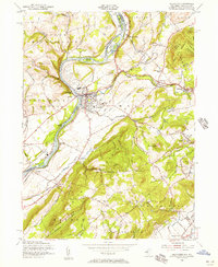
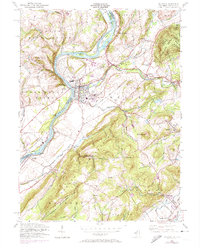
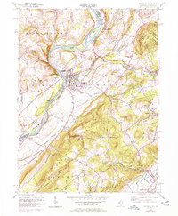
Editions of this 1955 Belvidere Map
6 editions found
Other maps of this area

1888 · Hackettstown
USGS Topo · 1:62,500

1890 · Easton
USGS Topo · 1:62,500

1890 · High Bridge
USGS Topo · 1:62,500

1891 · Easton
USGS Topo · 1:62,500

1891 · Delaware Water Gap
USGS Topo · 1:62,500

1893 · Delaware Water Gap
USGS Topo · 1:62,500

1894 · Hackettstown
USGS Topo · 1:62,500

1898 · Hackettstown
USGS Topo · 1:62,500

1898 · High Bridge
USGS Topo · 1:62,500

1900 · Raritan
USGS Topo · 1:125,000