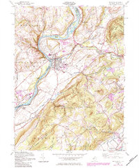
1955 Map of Belvidere
USGS Topo · Published 1984About this map
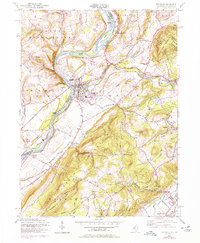
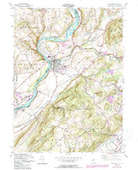
The Delaware River serves as the central artery of this region, carved by the natural flow of the Pequest River and Beaver Brook toward the county seat of Belvidere. This 1955 survey captures the transition from old rail corridors to modern transit, featuring the Conrail line and remnants like the Old RR Grade near Manunka Chunk. The topography is dominated by the steep slopes of Jenny Jump Mountain and Scotts Mountain, which define the settlement patterns in the valleys below.
Find a feature on this map
60 named features on this map. Tap any name to fly to it.
Don’t see what you’re looking for? This feature index may not catch every label — zoom into the map to look around manually.
Map Details
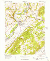
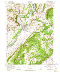
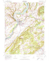
Editions of this 1955 Belvidere Map
6 editions found
Other maps of this area

1888 · Hackettstown
USGS Topo · 1:62,500

1890 · Easton
USGS Topo · 1:62,500

1890 · High Bridge
USGS Topo · 1:62,500

1891 · Easton
USGS Topo · 1:62,500

1891 · Delaware Water Gap
USGS Topo · 1:62,500

1893 · Delaware Water Gap
USGS Topo · 1:62,500

1894 · Hackettstown
USGS Topo · 1:62,500

1898 · Hackettstown
USGS Topo · 1:62,500

1898 · High Bridge
USGS Topo · 1:62,500

1900 · Raritan
USGS Topo · 1:125,000