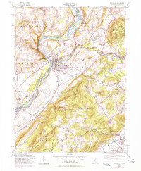
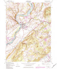
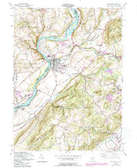
1955 Map of Belvidere
USGS Topo · Published 1979About this map
Belvidere serves as a focal point for this survey, situated at the confluence of the Delaware River and the Pequest River. The landscape is defined by the sharp bends of the Delaware, which carves through the terrain between Upper Mount Bethel in Pennsylvania and Lower Mount Bethel in New Jersey. Local infrastructure from the mid-20th century is well-documented, featuring a dense network of rail lines including the Pennsylvania Railroad, the Lehigh and Hudson River, and the Erie Lackawanna. These routes connect industrial and rural sites like the Bridgeville Station and Roxburg Station. To the east, the rising elevations of Jenny Jump Mountain and Jenny Jump State Forest contrast with the river valley settlements. Genealogists can locate family landmarks such as Hazen Cem and Hillside Cem, alongside smaller communities like Buttzville, Oxford, and Montana.
Find a feature on this map
68 named features on this map. Tap any name to fly to it.
Don’t see what you’re looking for? This feature index may not catch every label — zoom into the map to look around manually.
Map Details
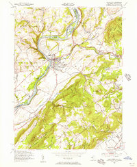
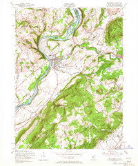
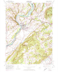
Editions of this 1955 Belvidere Map
6 editions found
Other maps of this area

1888 · Hackettstown
USGS Topo · 1:62,500

1890 · Easton
USGS Topo · 1:62,500

1890 · High Bridge
USGS Topo · 1:62,500

1891 · Easton
USGS Topo · 1:62,500

1891 · Delaware Water Gap
USGS Topo · 1:62,500

1893 · Delaware Water Gap
USGS Topo · 1:62,500

1894 · Hackettstown
USGS Topo · 1:62,500

1898 · Hackettstown
USGS Topo · 1:62,500

1898 · High Bridge
USGS Topo · 1:62,500

1900 · Raritan
USGS Topo · 1:125,000