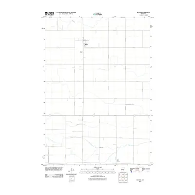
2010 Map of Belview
USGS Topo · Published 2010About this map
Belview serves as the central hub of this agricultural landscape in Redwood County, anchored by its core services at the Belview Post Office. The town is surrounded by a strictly organized grid of rural roads, including Garden Ave and Ideal Ave, which partition the fertile prairie. Local heritage is preserved at the Belview Cemetery just south of town and Saint Henry Cemetery to the southeast, providing valuable location data for genealogists and local historians.
Find a feature on this map
24 named features on this map. Tap any name to fly to it.
Don’t see what you’re looking for? This feature index may not catch every label — zoom into the map to look around manually.
Map Details
Editions of this 2010 Belview Map
This is the sole edition of this map. No revisions or reprints were ever made.
Other maps of this area

1952 · Redwood Falls
USGS Topo · 1:62,500

1953 · New Ulm
USGS Topo · 1:250,000

1957 · New Ulm
USGS Topo · 1:250,000

1958 · New Ulm
USGS Topo · 1:250,000

1965 · Echo
USGS Topo · 1:24,000

1965 · Lone Tree Lake
USGS Topo · 1:24,000

1965 · Belview
USGS Topo · 1:24,000

1965 · Iverson Lake
USGS Topo · 1:24,000

1967 · New Ulm
USGS Topo · 1:250,000

1967 · Wabasso
USGS Topo · 1:24,000