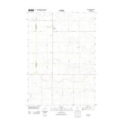
2013 Map of Belview
USGS Topo · Published 2013About this map
The town of Belview serves as the primary hub of this 2013 survey, positioned along the border where Yellow Medicine and Redwood Counties meet. This agrarian landscape is defined by a rigorous grid of section roads and a complex network of managed waterways, including Judicial Ditch Number Thirtytwo and Judicial Ditch Number Thirtythree, which facilitate drainage across the prairie. Genealogists will find particular value in the documentation of local burial sites, such as the Belview Cem just south of town, the Saint Henry Cem near the southern boundary, and the smaller Adsit Family Plot located east of Garden Ave. Natural drainage is still visible through the meandering paths of Echo Cr in the northwest and Ramsey Cr in the south, contrasting with the engineered precision of the surrounding farmland.
Find a feature on this map
33 named features on this map. Tap any name to fly to it.
Don’t see what you’re looking for? This feature index may not catch every label — zoom into the map to look around manually.
Map Details
Editions of this 2013 Belview Map
This is the sole edition of this map. No revisions or reprints were ever made.
Other maps of this area

1952 · Redwood Falls
USGS Topo · 1:62,500

1953 · New Ulm
USGS Topo · 1:250,000

1957 · New Ulm
USGS Topo · 1:250,000

1958 · New Ulm
USGS Topo · 1:250,000

1965 · Echo
USGS Topo · 1:24,000

1965 · Lone Tree Lake
USGS Topo · 1:24,000

1965 · Belview
USGS Topo · 1:24,000

1965 · Iverson Lake
USGS Topo · 1:24,000

1967 · New Ulm
USGS Topo · 1:250,000

1967 · Wabasso
USGS Topo · 1:24,000