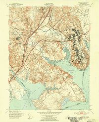
1951 Map of Belvoir
USGS Topo · Published 1953About this map
The Fort Belvoir Military Reservation and the sprawling Department of Corrections (District of Columbia) grounds dominate this mid-century portrait of the Potomac shoreline. The landscape is a transition between military utility and deep Virginian history, where modern infrastructure like the Richmond Fredericksburg and Potomac RR and the Shirley Memorial Highway cuts through areas defined by older landmarks. Local genealogy and history are preserved in the naming of numerous family and commemorative woods, such as Alexander Woods and Armistead Woods, alongside prominent estates like Gunston Hall and Woodlawn Mansion. Along the complex network of inlets including Pohick Bay and Gunston Cove, small settlements like Colchester and Gray Hill Village sit near rural institutions such as Shiloh Ch and Cranford Memorial Ch.
Find a feature on this map
69 named features on this map. Tap any name to fly to it.
Don’t see what you’re looking for? This feature index may not catch every label — zoom into the map to look around manually.
Map Details
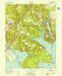
Editions of this 1951 Belvoir Map
2 editions found
Other maps of this area

1890 · Mt. Vernon
USGS Topo · 1:125,000

1891 · Mt. Vernon
USGS Topo · 1:125,000

1894 · Mt. Vernon
USGS Topo · 1:125,000

1897 · Mt. Vernon
USGS Topo · 1:125,000

1900 · Washington
USGS Topo · 1:62,500

1913 · Indian Head
USGS Topo · 1:62,500

1915 · Fairfax
USGS Topo · 1:62,500

1923 · Indian Head
USGS Topo · 1:48,000

1925 · Indian Head
USGS Topo · 1:62,500

1927 · Quantico
USGS Topo · 1:62,500