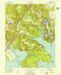
1951 Map of Belvoir
USGS Topo · Published 1953About this map
The Fort Belvoir Military Reservation and the Potomac River shoreline define this early 1950s landscape, where historic estates meet modern defense infrastructure. Significant landmarks of Virginia's colonial and early republic history are prominent, including Gunston Hall near Gunston Cove and the Woodlawn Mansion north of Accotink. The map illustrates a complex network of woods, such as Armistad Woods and Benham Woods, interspersed with military facilities like the Infiltration Course and the Engineer Board. Transportation corridors are well-established, with the Richmond Fredericksburg and Potomac RR and the Southern Ry running parallel to the Shirley Highway and Richmond Highway. Along the tidal flats of Belmont Bay and Occoquan Bay, the map details a world of points and necks, from Hallowing Point to the Mason Neck, reflecting the era's balance between military utility and deep-rooted Potomac heritage.
Find a feature on this map
77 named features on this map. Tap any name to fly to it.
Don’t see what you’re looking for? This feature index may not catch every label — zoom into the map to look around manually.
Map Details
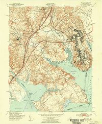
Editions of this 1951 Belvoir Map
2 editions found
Other maps of this area

1890 · Mt. Vernon
USGS Topo · 1:125,000

1891 · Mt. Vernon
USGS Topo · 1:125,000

1894 · Mt. Vernon
USGS Topo · 1:125,000

1897 · Mt. Vernon
USGS Topo · 1:125,000

1900 · Washington
USGS Topo · 1:62,500

1913 · Indian Head
USGS Topo · 1:62,500

1915 · Fairfax
USGS Topo · 1:62,500

1923 · Indian Head
USGS Topo · 1:48,000

1925 · Indian Head
USGS Topo · 1:62,500

1927 · Quantico
USGS Topo · 1:62,500